We use cookies to make your experience better. To comply with the new e-Privacy directive, we need to ask for your consent to set the cookies. Learn more
Ireland Maps in Europe
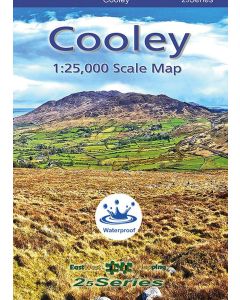
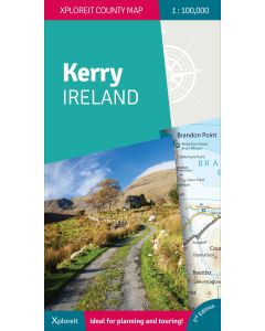
The Ireland Maps collection on Cordee.co.uk is ideal for travelers, hikers, cyclists, climbers and adventurers exploring the scenic landscapes and rich history of Ireland. These detailed maps offer essential information on trails, topography, and landmarks, ensuring confident navigation through Ireland’s mountains, coastal regions, and cities. Whether you’re hiking in the Wicklow Mountains, exploring the Wild Atlantic Way, or discovering cultural landmarks, these maps provide reliable guidance for planning your trip. Perfect for outdoor activities or cultural explorations, these maps help you explore and understand Ireland’s geography.
-
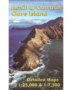 Achill and Corraun detailed maps 125000 and 17500 including Clare Island£14.99
CME255
Temp Out Of Stock

