We use cookies to make your experience better. To comply with the new e-Privacy directive, we need to ask for your consent to set the cookies. Learn more
Dingle East 125000 Scale Map
Slieve Mish
£17.99
In Stock
Usually dispatched within 24 hrs. Free delivery to UK for orders £25 and over
| Cordee Code: | CMI038 |
|---|---|
| Page Size: | 125 x 205 mm |
| Publisher: | Eastwest Mapping |
| ISBN13: | 9781899815654 |
| Published Date: | April 2024 |
| Edition: | 1st ed, 2024 |
| Binding: | Sheet Map (folded) |
| Weight: | 95g |
| Product Type: | Map |
| Countries: | Ireland |
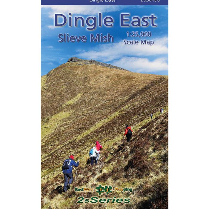
Dingle East 1:25,000 Map Paper
Definitive detailed map at 1:25,000 scale covering the eastern end of the Dingle peninsula - from Tralee to Castlegregory & Inch. Produced to our 25Series standard, this general topographic map has a 5 metre contour interval for fine navigation. Signposted walking trails are depicted. Detailed topographic map with many placenames and heritage sites. Printed on good quality Progeo 90gsm map paper. The map sheet measures 1125mm x 820mm, covering 550 sq kilometres and is folded down to 125mm x 205mm.
Definitive detailed map at 1:25,000 scale covering the eastern end of the Dingle peninsula - from Tralee to Castlegregory & Inch. Produced to our 25Series standard, this general topographic map has a 5 metre contour interval for fine navigation. Signposted walking trails are depicted. Detailed topographic map with many placenames and heritage sites. Printed on good quality Progeo 90gsm map paper. The map sheet measures 1125mm x 820mm, covering 550 sq kilometres and is folded down to 125mm x 205mm.