We use cookies to make your experience better. To comply with the new e-Privacy directive, we need to ask for your consent to set the cookies. Learn more
Iceland Maps in Europe
The Iceland Maps collection on Cordee.co.uk offers detailed navigation tools for travelers and adventurers exploring Iceland’s stunning landscapes. These maps provide essential information for navigating Iceland's unique terrain, from volcanic regions to glaciers and fjords. Whether you're hiking, driving, or exploring Iceland’s natural wonders, the maps ensure accurate guidance through topographic details, trails, and landmarks. Perfect for planning both outdoor adventures and road trips, these maps help users confidently explore Iceland’s remote and rugged beauty, while also providing context for its location on the map of Europe.
-
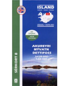 Akureyri Myvatn Dettifoss 1:120,000 1:50,000 Iceland Trekking Map (8) north coast£18.99
CMV254
In Stock -
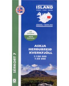 Askja Herdubreid Kverkfjoll 1:100,000 1:50,000 Iceland Trekking Map (7) central east£18.99
CMV253
In Stock -
-

-
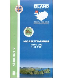 Hornstrandir 1:100,000 1:50,000 Iceland Trekking Map (9) far NW coast£19.99
CMV255
Temp Out Of Stock -
-
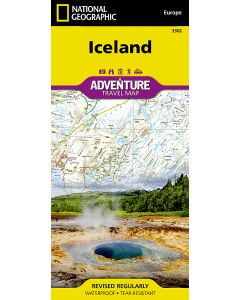
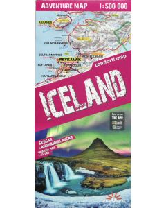 Iceland Adventure Map 1:500,000 Terraquest Incl. Skogar Landmannalaugar Trekking 1:75,000£11.99
CMW789
Temp Out Of Stock -
-
-
-
-
Shop By
Filters