We use cookies to make your experience better. To comply with the new e-Privacy directive, we need to ask for your consent to set the cookies. Read our privacy and security policy

Nepal Trekking
Trekking maps for Nepal covering the Everest, Annapurna and Langtang regions along with less travelled areas such as Manaslu, Dolpo and Kanchenjunga. Sheets show trekking routes, teahouse locations, altitudes and contour detail at scales from 1:50,000 to 1:150,000. Publishers include Himalayan MapHouse, Nepa Maps and National Geographic.
-

-
-
-
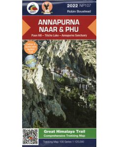 Annapurna, Naar and Phu 1:125,000 GHT trekking map NP107 Poon Hill - Tilicho Lake - Annapurna Sanctuary£19.99
CMW779
Temp Out Of Stock -
-
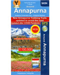
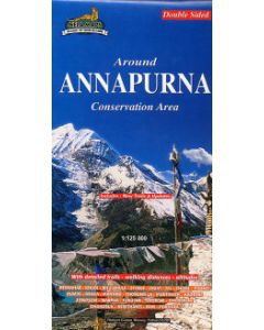
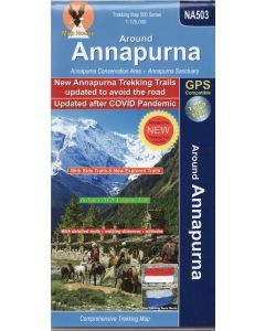 Around Annapurna : Marsyangdi, Thorung Pass, Kali Gandaki 1:125,000 new & updated edition£15.99
CMW770
Temp Out Of Stock -
-
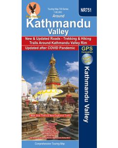 Around Kathmandu Valley 1:60,000 NR751 With side trails and New Explored trails£16.99
CMW809
In Stock -
-
-
Shop By
Filters