We use cookies to make your experience better. To comply with the new e-Privacy directive, we need to ask for your consent to set the cookies. Learn more
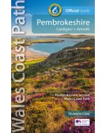
Pembrokeshire Coast Path AZ Adventure
A-Z Adventure Atlas Map 1:25,000
£11.99
In Stock
Usually dispatched within 24 hrs. Free delivery to UK for orders £25 and over
The A-Z Adventure Series uses Ordnance Survey mapping and is the perfect companion for walkers, off-road cyclists, and anyone wishing to explore the great outdoors.
| Cordee Code: | CMAZ91 |
|---|---|
| Page Size: | 136 x 240 mm |
| No of Pages: | 96 |
| Publisher: | Geographers A-z |
| ISBN13: | 9780008727765 |
| Scale: | 1:25,000 |
| Published Date: | March 2025 |
| Edition: | 3rd Ed, March 2025 |
| Binding: | Paperback (flapped) |
| Illustrations: | Colour mapping |
| Weight: | 170g |
| Product Type: | Map |
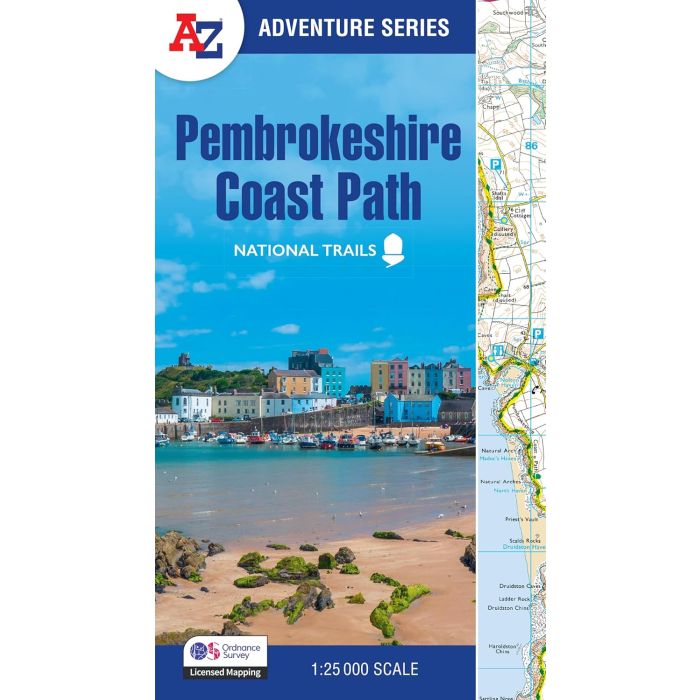
The Pembrokeshire Coast Path is a 186 mile (299 km) National Trail in south-west Wales. From Amroth in the south to St Dogmaels in the north and running mainly through the Pembrokeshire National Park, the route passes through some of the most scenic parts of Wales.
This National Trail Map features detailed mapping at a scale of 1:25 000, providing complete coverage of the Pembrokeshire Coast Path. There is also a route planner included to show distances between places and the amenities available making it easy to plan your adventure. Additional features include:
-Information Centres
-Hotels/B&Bs
-Youth Hostels
-Campsites (seasonal opening)
-Public Houses
-Shops
-Restaurants
-Cafes (seasonal opening)
-Petrol Stations
-
-
-
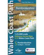 Pembrokeshire Coast Path Map1:25,000 Ordnance Survey maps for the Wales Coast Path£9.99
CWW410
In Stock -
Other titles of interest:
-
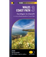 Wales Coast Path 3 HARVEY 140 000Cardigan to Llanelli incl Pembrokeshire Coast Path£17.50
CMH350
Temp Out Of Stock -
-