We use cookies to make your experience better. To comply with the new e-Privacy directive, we need to ask for your consent to set the cookies. Learn more
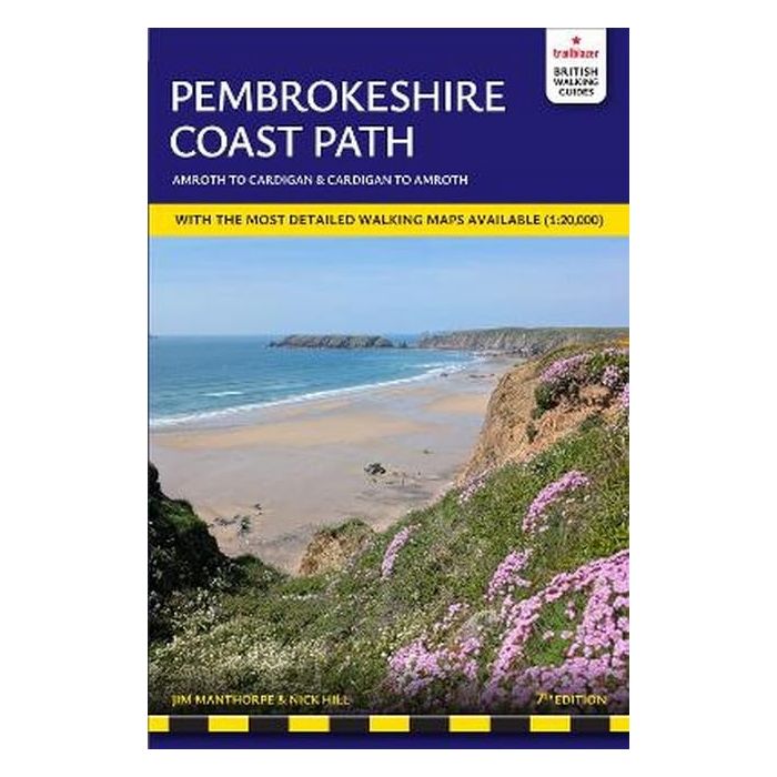
Pembrokeshire Coast Path
Amroth to Cardigan
£14.99
New Edition
This title has not yet been released. You may pre-order now and we will deliver it to you when it arrives.
Contact [email protected]
Contact [email protected]
The Pembrokeshire Coast Path follows a National Trail for 186 miles (299km) around the magnificent coastline of the Pembrokeshire Coast National Park in south-west Wales.
| Cordee Code: | TB0076 |
|---|---|
| Page Size: | 120 x 180 mm |
| No of Pages: | 236 |
| Publisher: | Trailblazer |
| ISBN13: | 9781912716531 |
| Author: | Jim Manthorpe |
| Published Date: | January 2026 |
| Edition: | 7th ed, Jan 2025 |
| Binding: | Paperback |
| Illustrations: | illustrations, maps |
| Weight: | 235g |
| Product Type: | Guide Books |
| Countries: | United Kingdom |
Renowned for its unspoilt sandy beaches, secluded coves, tiny fishing villages and off-shore islands rich in bird and marine life, this National Trail provides some of the best coastal walking in Britain.
With accommodation, pubs and restaurants in detailed guides to 47 towns and villages including Tenby, Pembroke, St David's, Fishguard and Cardigan.
-96 large-scale walking maps - 1:20,000 (3-1/8 inches to 1 mile), 16 town plans, 12 stage maps with trail profiles showing hills and descents, and 2 overview maps
-Itineraries for all walkers - whether hiking the entire route or sampling highlights on day walks, weekends or short breaks
-Unique mapping features - walking times, directions, tricky junctions, places to stay, places to eat, points of interest written onto the maps
-Comprehensive public transport information - includes frequency of services for all access points on the Path
-Flora and fauna - four page full-colour flower guide, plus an illustrated section on local wildlife
-Green hiking - understanding the local environment and minimising our impact on it
-Downloadable GPS waypoints and what3ways references
-Detailed accommodation with reviews - B&Bs, campsites, pubs, hotels, bunkhouses
-Where to eat with reviews - cafes, teashops, pubs, takeaways and restaurants.
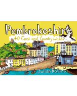
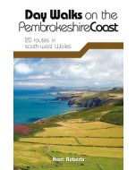
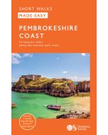
Other titles of interest:
-
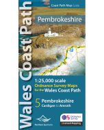 Pembrokeshire Coast Path Map1:25,000 Ordnance Survey maps for the Wales Coast Path£9.99
CWW410
In Stock -
-
Useful maps
-
-
-
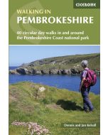
 National Parks: PembrokeshireFinest themed walks in the Pembrokeshire Coast Nat Park£6.99
CWW398
In Stock