We use cookies to make your experience better. To comply with the new e-Privacy directive, we need to ask for your consent to set the cookies. Learn more
Wyoming Recreation Map
£9.95
Temp Out Of Stock
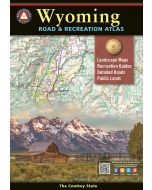
The Wyoming Recreation Map is a folded map version of the Recreation Guide pages within the Wyoming Road & Recreation Atlas.
| Cordee Code: | CMA616 |
|---|---|
| Page Size: | 100 x 230 mm |
| Publisher: | Benchmark Maps |
| ISBN13: | 9780783499741 |
| Scale: | 1:750,000 |
| Published Date: | December 2024 |
| Edition: | December 2024 |
| Binding: | Sheet Map (folded) |
| Weight: | 40g |
| Product Type: | Map |
| Countries: | United States of America |
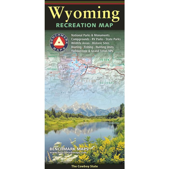
One side provides a full state map that features Public & Tribal Lands, extensive highway detail, point-to-point mileages, recreation attractions, campgrounds, parks and wildlife areas, fishing access points, and hunting units (GMU). The reverse side features enlarged maps of Central Yellowstone and Grand Teton / Jackson, and includes statewide categorized POI listings with helpful descriptions, current contact information, and map grid references.