We use cookies to make your experience better. To comply with the new e-Privacy directive, we need to ask for your consent to set the cookies. Learn more
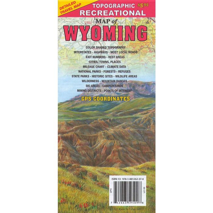
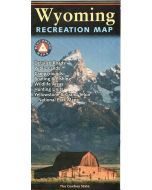
Recreational Map of Wyoming 1:792,000
£7.99
In Stock
Usually dispatched within 24 hrs. Free delivery to UK for orders £25 and over
| Cordee Code: | CMA547 |
|---|---|
| Page Size: | 105 x 230 mm |
| No of Pages: | 1 |
| Publisher: | Gtr Map Publishers |
| ISBN13: | 9781881262374 |
| Scale: | 1:792 000 |
| Published Date: | January 2020 |
| Edition: | 2020 |
| Binding: | Sheet Map (folded) |
| Illustrations: | colour maps |
| Weight: | 40g |
| Product Type: | Map |
| Countries: | United States of America |
Detailed travel map - Interstates, exit numbers, highways, most local maintained roads. Topographic contours each 1,000 feet and color shaded each 2,000 feet above 6,000 feet. New 2020 Edition includes GPS coordinates and multiple updates.
Features include national forests, wilderness, campgrounds, parks, state game & fish areas, ski areas, mining districts, points of interest, and more.
Features include national forests, wilderness, campgrounds, parks, state game & fish areas, ski areas, mining districts, points of interest, and more.