We use cookies to make your experience better. To comply with the new e-Privacy directive, we need to ask for your consent to set the cookies. Read our privacy and security policy

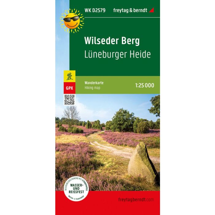
Wilseder Berg, hiking map
WKD2579
£8.90
In Stock
Usually dispatched within 24 hrs. Free delivery to UK for orders £25 and over
| Cordee Code: | FB0907 |
|---|---|
| Page Size: | 100 x 205 mm |
| Publisher: | Freytag & Berndt |
| ISBN13: | 9783707920277 |
| Published Date: | February 2022 |
| Binding: | Sheet Map (folded) |
| Weight: | 50g |
| Product Type: | Map |
| Countries: | Germany |
The hiking map presents the Luneburg Heath Nature Park, which protects a cultural landscape that is five thousand years old. The car-free heath landscape, which is still cared for by Heidschnucken today, can be easily hiked with the help of the map. Around Bispingen alone there are seven hundred km of signposted cycling and hiking trails. Both long-distance and regional hiking trails are marked in the map section, which include the highest elevation in the region, the Wilseder Berg. Yellow flags indicate other tourist destinations such as the Heidegarten in Schneverdingen, the SnowDome near Bispingen or the natural adventure pool in Egestorf.