We use cookies to make your experience better. To comply with the new e-Privacy directive, we need to ask for your consent to set the cookies. Learn more
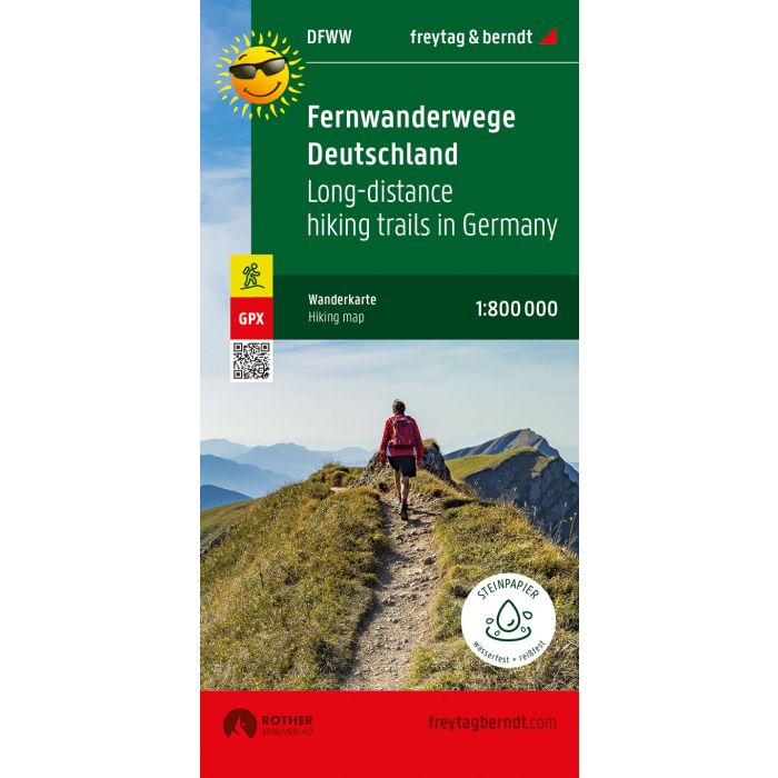
long distance routes Germany, Hiking map 1:800000, freytag
£12.90
In Stock
Usually dispatched within 24 hrs. Free delivery to UK for orders £25 and over
| Cordee Code: | FB0767 |
|---|---|
| Page Size: | 100 x 205 mm |
| Publisher: | Freytag & Berndt |
| ISBN13: | 9783707919639 |
| Published Date: | September 2021 |
| Binding: | Sheet Map (folded) |
| Weight: | 50g |
| Product Type: | Map |
| Countries: | Germany |
The map of Germany's long-distance hiking trails is ideal for inspiration or for concrete planning of your next long-distance or long-distance hike. Whether in short stages or in one go, whether alone, in pairs or in a group, Germany's nature can be wonderfully explored along the long-distance hiking trails.
In addition to 30 Ways of St. James, all known long-distance hiking trails are of course marked. These include, for example: Goldsteig, 66-lake hiking trail, Heidschnuckenweg, Altm?hltal Panoramaweg, Eifelsteig, Kammweg, Moselsteig, Rennsteig, Hermannsweg, Baltic Sea coast hiking trail, etc.
Content of the long-distance hiking trail map Germany
German long-distance hiking trails
European long-distance hiking trails
Jakobswege
GPX-Tracks zum Download
Scale 1:800,000
Waterproof and tear resistant
61 x 90 cm, printed on both sides
Waterproof and tear-resistant
The map is printed on a special waterproof and durable paper so that it can also be used for orientation on rainy days.
Manufactured in a way that conserves resources
The map consists of 80% ground limestone. The production is much more resource-saving than with conventional paper because the consumption of water, wood and energy is significantly lower.