We use cookies to make your experience better. To comply with the new e-Privacy directive, we need to ask for your consent to set the cookies. Learn more
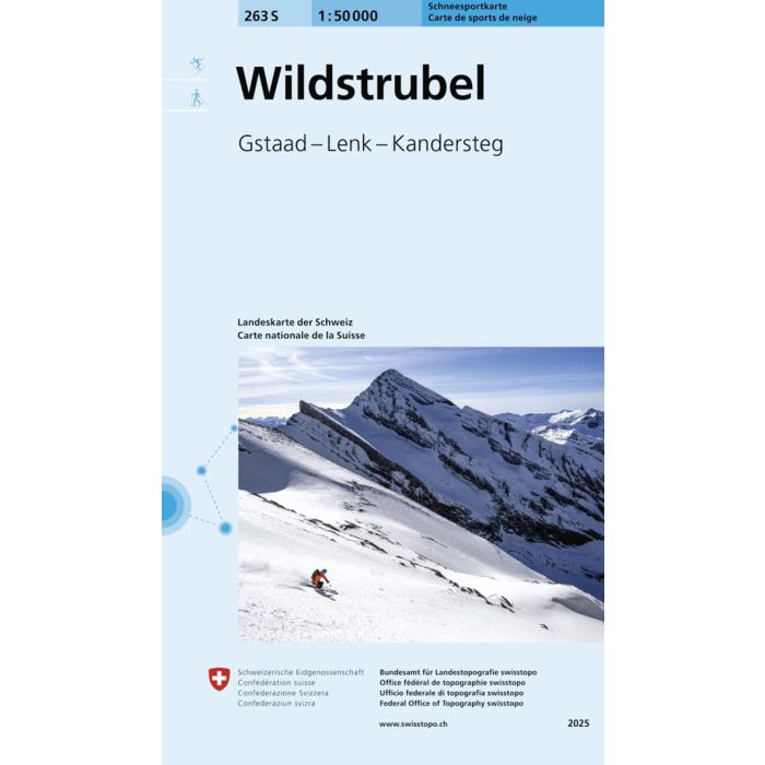
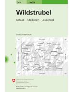
Wildstrubel 263S
Gstaad - Lenk - Kandersteg
£21.99
In Stock
Usually dispatched within 24 hrs. Free delivery to UK for orders £25 and over
Detailed ski map at 1:50,000 from Swisstopo, the country's national survey organization, showing routes for skiing and/or snowboarding, access by public transport, recommended itineraries, lists of mountain huts, etc.
| Cordee Code: | CMZS31 |
|---|---|
| Page Size: | 110 x 190 mm |
| Publisher: | Swisstopo |
| ISBN13: | 9783302502632 |
| Scale: | 1:50 000 |
| Author: | Swisstopo |
| Published Date: | December 2025 |
| Edition: | 2025 |
| Binding: | Sheet Map (folded) |
| Weight: | 40g |
| Product Type: | Map |
| Countries: | Switzerland |
Detailed ski map at 1:50,000 from Swisstopo, the country's national survey organization, showing routes for skiing and/or snowboarding, access by public transport, recommended itineraries, lists of mountain huts, etc. The series uses the cartography of Switzerland's topographic survey, with additional colouring to show slopes steeper than 30?. An overprint highlights ski routes, indicating suggested direction, difficult passages and sections which must be covered on foot. Also marked are areas where it is forbidden to leave the routes shown on the map.
The maps also highlight roads with bus routes, indicating individual bus stops, show ski lifts and funiculars, plus mark locations of refuges or other mountain accommodation. Each title has the Swiss national grid at intervals of 1km, plus latitude and longitude margin ticks at 1. Some titles cover a larger area, with a part of an adjoining sheet printed on the reverse of the main map as indicated on our series grid. Where appropriate, ski information extends across the border to France and Italy.
The maps also highlight roads with bus routes, indicating individual bus stops, show ski lifts and funiculars, plus mark locations of refuges or other mountain accommodation. Each title has the Swiss national grid at intervals of 1km, plus latitude and longitude margin ticks at 1. Some titles cover a larger area, with a part of an adjoining sheet printed on the reverse of the main map as indicated on our series grid. Where appropriate, ski information extends across the border to France and Italy.