We use cookies to make your experience better. To comply with the new e-Privacy directive, we need to ask for your consent to set the cookies. Learn more
Walking the Pennine Way Map Booklet
1:25,000 OS Route Mapping
£14.95
In Stock
Usually dispatched within 24 hrs. Free delivery to UK for orders £25 and over
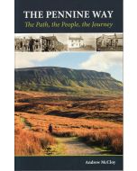
A booklet of all the mapping needed to complete the Pennine Way, England's toughest National Trail. Suited to fit experienced walkers, the 426km (265 mile) route from Edale to Kirk Yetholm follows northern England's mountainous spine, passing through three national parks: the Peak District, the Yorkshire Dales and Northumberland.
| Cordee Code: | CP0467 |
|---|---|
| Page Size: | 116 x 172 mm |
| No of Pages: | 136 |
| Publisher: | Cicerone Press |
| ISBN13: | 9781786311412 |
| Published Date: | April 2025 |
| Edition: | 2nd ed, March 2025 |
| Binding: | Paperback |
| Illustrations: | Colour 1:25,000 mapping |
| Weight: | 120g |
| Product Type: | Map |
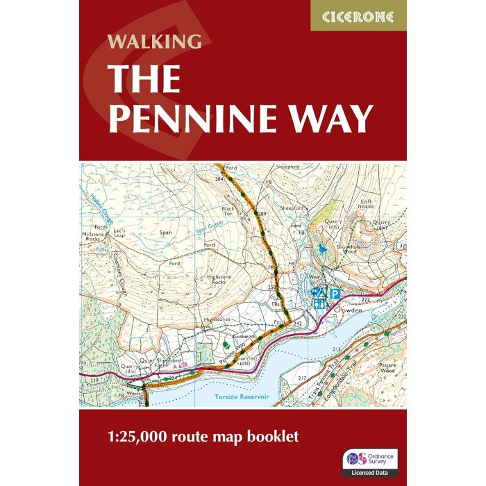
-The full route line is shown on 1:25,000 OS maps
-The map booklet can be used to walk the trail in either direction
-Sized to easily fit in a jacket pocket
-The relevant extract from the OS Explorer map legend is included
-The map booklet can be used to walk the trail in either direction
-Sized to easily fit in a jacket pocket
-The relevant extract from the OS Explorer map legend is included