We use cookies to make your experience better. To comply with the new e-Privacy directive, we need to ask for your consent to set the cookies. Learn more
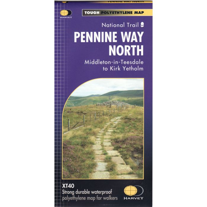
Pennine Way North XT40
1:40,000
£17.95
In Stock
Usually dispatched within 24 hrs. Free delivery to UK for orders £25 and over
| Cordee Code: | CMH300 |
|---|---|
| Publisher: | Harvey Maps |
| ISBN13: | 9781851376155 |
| Published Date: | January 2019 |
| Edition: | 1st ed, Jan 2019 |
| Binding: | Waterproof Map (folded) |
| Weight: | 100g |
| Geoarea: | Pennines |
| Product Type: | Map |
Now printed on 100% waterproof and practically indestructable polyethelene paper. Weighing half the weight of a laminated map this updated map from Edale to Middleton-in-Teesdale is the Southern part of the popular Pennine Way. The Pennine Way is a National Trail. It follows the backbone of England from the Peak District to the Scottish borders. It is one of the toughest UK long distance footpaths, and forms part of the European Footpath Network. The Pennine Way was Britain's first National Trail, opened in 1965. Just 2 HARVEY maps cover the whole 268-mile route. Each covers a section of the Way suitable for a comfortable week of walking. Each starts and finishes near public transport.