We use cookies to make your experience better. To comply with the new e-Privacy directive, we need to ask for your consent to set the cookies. Learn more

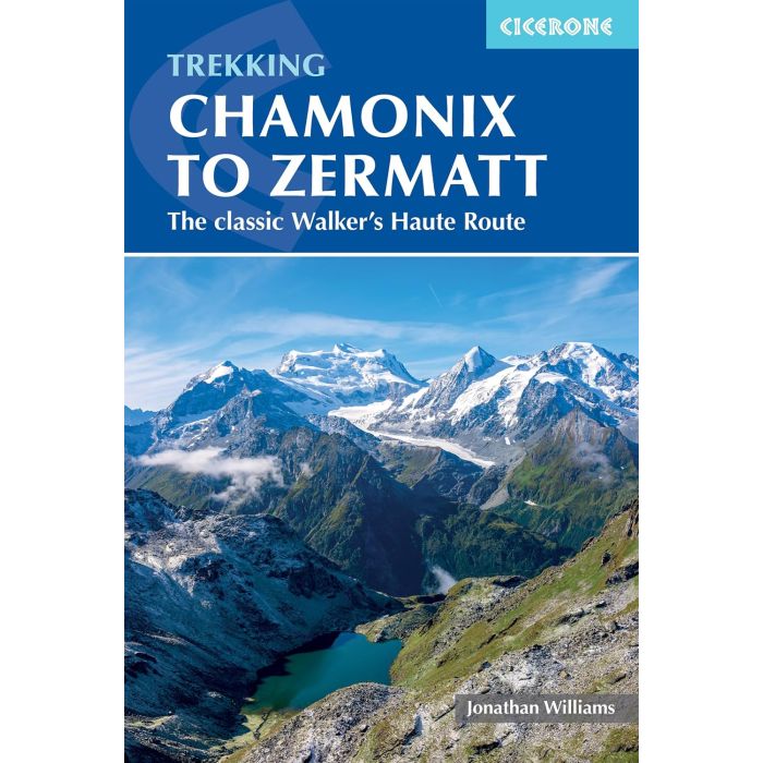
Trekking Chamonix to Zermatt
The Classic Walker's Haute Route
£18.95
Not Yet Published
This title has not yet been released. You may pre-order now and we will deliver it to you when it arrives.
Contact [email protected]
Contact [email protected]
Guidebook to the Walker's Haute Route from Chamonix to Zermatt. The 215km route typically takes 2 weeks to walk. Described in 14 stages, the route crosses 11 passes between Mont Blanc and the Matterhorn and involves 14,500m of ascent and descent.
| Cordee Code: | CP0535 |
|---|---|
| Page Size: | 116 x 172 mm |
| No of Pages: | 256 |
| Publisher: | Cicerone Press |
| ISBN13: | 9781786313119 |
| Author: | Jonathan Williams |
| Published Date: | October 2026 |
| Edition: | 8th ed, Oct 2026 |
| Binding: | Paperback (encapsulated) |
| Illustrations: | Colour photos & maps |
| Weight: | 330g |
| Product Type: | Guide Books |
| Countries: | Switzerland |
Trekking Chamonix to Zermatt is the definitive guide to the Walker's Haute Route - a 14-stage, 215km traverse of the Pennine Alps connecting the world's two greatest mountaineering centres, with 14,500m of ascent and the summits of Mont Blanc and the Matterhorn watching over every step.
The guide suits fit, experienced mountain walkers who are ready for a longer and higher-level challenge than the Tour of Mont Blanc.
-14 main stages plus nine alternatives covering about 215km and 14,500m of ascent across 11 high passes. Flexible itineraries for 10, 12 or 14 days let you match the route to your schedule and fitness level.
-Iconic scenery at every turn: the soaring aiguilles of the Mont Blanc massif, the vast bulk of the Grand Combin, the Weisshorn dominating the second half of the trek, and the Matterhorn as a constant companion on the final approach to Zermatt. The Lac de Moiry icefall, the Cabane du Mont Fort belvedere and the deep pastoral valleys of the Val d'Herens and Val d'Anniviers add variety between the high passes.
-Key challenges include the Fenetre d'Arpette - a steep, scree-laden descent early in the trek - the remote Grand Desert crossing with three cols in a single day, the rocky Col de Riedmatten, and the high-level Europaweg finale with its 500m Charles Kuonen suspension bridge and overnight at the Europahutte.
-GPX files for all stages are available to download, with 1:50,000 stage maps and height profiles in the guide for every day on the trail.
-A stage facilities planner shows distances and times between accommodation, refreshments and transport points - essential for building your own itinerary. Full accommodation listings cover valley hotels, g?tes and Swiss Alpine Club (CAS) mountain huts, with booking advice for the busiest sections.
-Several stages follow Swiss National Walking Route 6 - The Alpine Passes Trail, one of Switzerland's great long-distance routes, so signage is reliable and waymarking consistent across the Swiss portion of the trek.
Other titles of interest:


-
 Trekking Map: Walkers Haute Route: Chamonix to ZermattThe Great Treks of the Alps£16.99
CMW790
In Stock -

