We use cookies to make your experience better. To comply with the new e-Privacy directive, we need to ask for your consent to set the cookies. Learn more
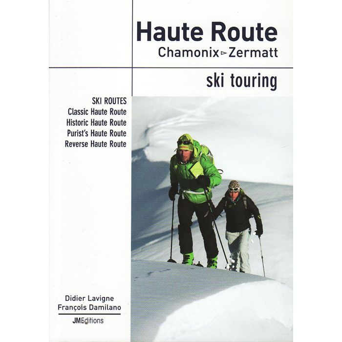
Haute Route
Chamonix - Zermatt Ski Touring
£24.95
In Stock
Usually dispatched within 24 hrs. Free delivery to UK for orders £25 and over
Undoubtedly the world's most famous ski traverse, the Haute Route takes skiers through the most prestigious ranges of the Alps, crossing the glaciers and high passes between Chamonix and Zermatt. Every year, around 4000 skiers undertake this magnificent one-week traverse between two of the Alps most famous towns....
English text
English text
| Cordee Code: | CTS233 |
|---|---|
| Page Size: | 125 x 175 mm |
| No of Pages: | 196 |
| Publisher: | Jmeditions |
| ISBN13: | 9782918824091 |
| Author: | Didier Lavigne & Francois Damilano |
| Published Date: | January 2012 |
| Edition: | Jan 2012 |
| Binding: | Paperback |
| Illustrations: | Full Colour |
| Weight: | 220g |
| Geoarea: | Alps Western (france, Switzerland, And Italy) |
| Product Type: | Guide Books |
| Countries: | France |
Undoubtedly the worlds most famous ski traverse, the Haute Route takes skiers through the most prestigious ranges of the Alps, crossing the glaciers and high passes between Chamonix (F) and Zermatt (CH). Every year, around 4000 skiers undertake this unforgettable one-week traverse between the mountaineering capitals of the Alps.
The introductory sections provide a wealth of practical advice on preparation, strategy and equipment, plus expert tips and a brief history of the traverse, all of which serve to highlight the alpine dimension of the Haute Route. Each stage is then presented in detail through comprehensive route descriptions, profiles of the climbs and descents, sketch maps and photos showing the route to follow.
English text.