We use cookies to make your experience better. To comply with the new e-Privacy directive, we need to ask for your consent to set the cookies. Learn more
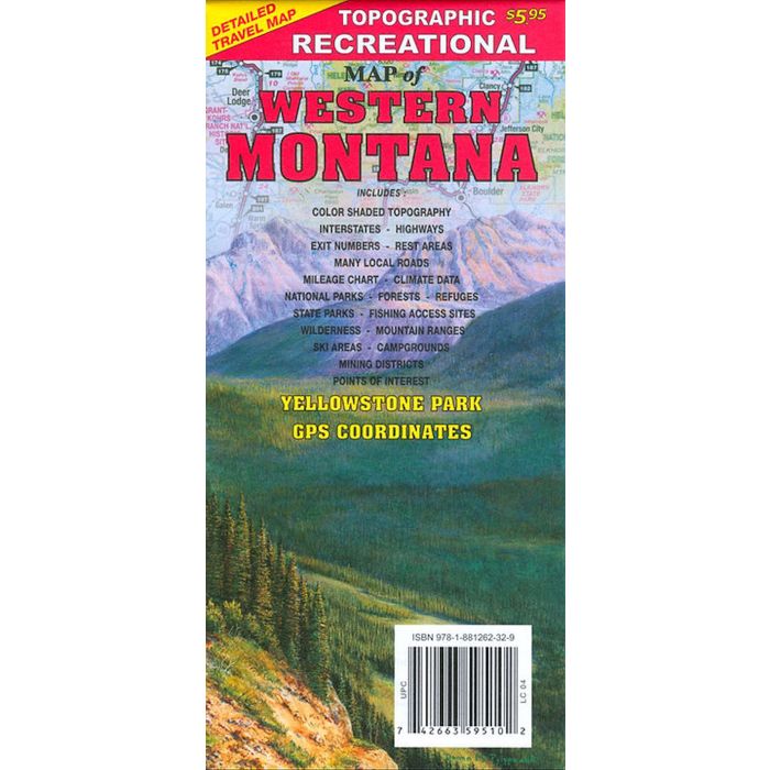
Recreational Map of Western Montana 1:792,000
£7.99
Temp Out Of Stock
| Cordee Code: | CMA546 |
|---|---|
| Page Size: | 105 x 225 mm |
| No of Pages: | 1 |
| Publisher: | Gtr Map Publishers |
| ISBN13: | 9781881262329 |
| Scale: | 1:792 000 |
| Published Date: | January 2019 |
| Edition: | 2019 ed |
| Binding: | Sheet Map (folded) |
| Illustrations: | colour maps |
| Weight: | 40g |
| Product Type: | Map |
| Countries: | United States of America |
Detailed travel map Interstates, exit numberss, hwys, many more local roads than typical highway maps. New 2019 Edition includes GPS coordinates and multiple updates. Detailed addition of Yellowstone Park
Topographic contours each 1,000 feet. Color shaded each 2,000 feet above 4,000 feet. Features include national forests, wilderness, campgrounds, parks, state fishing access sites, ski areas, mining districts, points of interest, and more.
Topographic contours each 1,000 feet. Color shaded each 2,000 feet above 4,000 feet. Features include national forests, wilderness, campgrounds, parks, state fishing access sites, ski areas, mining districts, points of interest, and more.