We use cookies to make your experience better. To comply with the new e-Privacy directive, we need to ask for your consent to set the cookies. Learn more
Wales Geological Maps
The Wales Geology Maps collection on Cordee.co.uk is an essential resource for geologists, hikers, and nature enthusiasts exploring the geological landscapes of Wales. These detailed maps provide comprehensive information on Wales' geological formations, including rock types, fault lines, and landforms. Whether you're studying the geology of Snowdonia, Brecon Beacons, or the coastal regions, these maps offer valuable insights and guidance for fieldwork and outdoor exploration. Perfect for academic research or geological adventures, these maps help you understand and navigate the unique geological features of Wales.
-
 Kettering Solid and drift geology map 1:50 000 scale geology map E171 (England and Wales)£12.00
CGM445
In Stock -
Kielder Castle Solid and drift geology map 1:63 360 scale geology map E7 (England and Wales)£12.00
CGM007
In Stock -
-
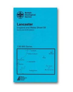 Lancaster Solid and drift geology map 1:50 000 scale geology map E59 (England and Wales)£12.00
CGM306
In Stock -
Lancaster Solid with drift geology map 1:50 000 scale geology map E59 (England and Wales)£12.00
CGM357
In Stock -
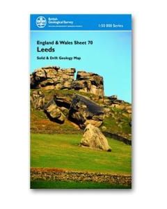 Leeds Solid and drift geology map 1:50 000 scale geology map E70 (England and Wales)£12.00
CGM454
In Stock
Shop By
Filters