We use cookies to make your experience better. To comply with the new e-Privacy directive, we need to ask for your consent to set the cookies. Learn more
Wales Geological Maps
The Wales Geology Maps collection on Cordee.co.uk is an essential resource for geologists, hikers, and nature enthusiasts exploring the geological landscapes of Wales. These detailed maps provide comprehensive information on Wales' geological formations, including rock types, fault lines, and landforms. Whether you're studying the geology of Snowdonia, Brecon Beacons, or the coastal regions, these maps offer valuable insights and guidance for fieldwork and outdoor exploration. Perfect for academic research or geological adventures, these maps help you understand and navigate the unique geological features of Wales.
-
 Isle of Man Special sheet Solid and drift geology map 1:50 000 scale geology map special sheet (England and Wales)£12.00
CGM433
Temp Out Of Stock -
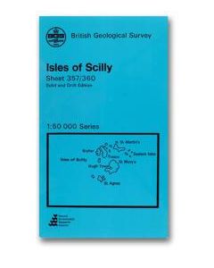 Isles of Scilly Solid and drift geology map 1:50 000 scale geology map E357 (England and Wales)£12.00
CGM171
Refer To Cus Serv -
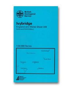 Ivybridge Solid and drift geology map 1:50 000 scale geology map E349 (England and Wales)£12.00
CGM160
In Stock -
Kendal Bedrock geology map 1:50 000 scale geology map E039 (England and Wales)£12.00
CGM506
In Stock -
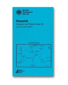 Keswick Solid and drift geology map 1:50 000 scale geology map E29 (England and Wales)£12.00
CGM354
In Stock -
Shop By
Filters