We use cookies to make your experience better. To comply with the new e-Privacy directive, we need to ask for your consent to set the cookies. Learn more
Peloponnese 1200000
inc 7 city Maps
£10.95
Temp Out Of Stock
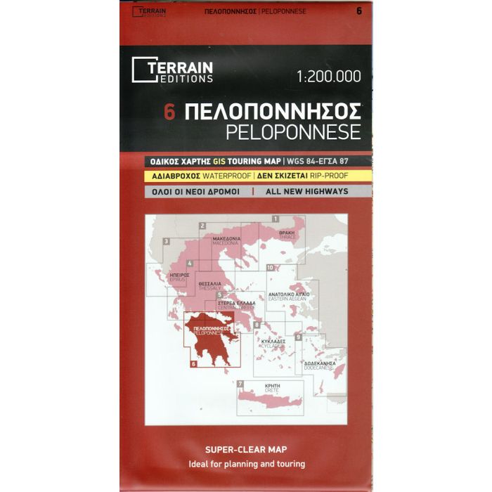
Peloponnese at 1:200,000 on a double-sided road map from Terrain Maps, printed on light, waterproof and tear-resistant synthetic paper.
| Cordee Code: | CMG161 |
|---|---|
| Publisher: | Terrain Cartographic Pc |
| ISBN13: | 9789609456227 |
| Scale: | 1:200,000 |
| Edition: | 2013 |
| Binding: | Waterproof Map (folded) |
| Weight: | 190g |
| Product Type: | Map |
| Countries: | Greece |
Peloponnese at 1:200,000 on a double-sided road map from Terrain Maps, printed on light, waterproof and tear-resistant synthetic paper.
The map is double-sided with a very generous overlap between the sides. Topography is shown by relief shading with light altitude colouring and plenty of names of mountain ranges. All place names are in both Greek and Latin alphabets. The presentation of the road network differentiates between smooth and rough dirt roads, shows driving distances on many local roads, plus locations of petrol stations. Scenic routes are highlighted. Railway lines and ferry routes are included. A range of symbols indicate various places of interest including campsites and mountain refuges, archaeological sites, churches and monasteries, skiing areas, etc. The map has a 10km UTM grid. Map legend includes English.
The index, separate for the Greek and Latin alphabet place names and with lists of monasteries and archaeological sites, is in a booklet detachable from the map. Also included in the booklet are street plans of the town centres of Nafplio, Patra, Corinth, Kalamata, Sparta, Tripoli and Pyrgos annotated with selected hotels, museums and other public buildings, one way streets/car parks, petrol stations, etc. Most street names are transliterated, with some smaller ones shown only in Greek alphabet.


