We use cookies to make your experience better. To comply with the new e-Privacy directive, we need to ask for your consent to set the cookies. Learn more
Peloponnese
1:200 000
£10.50
In Stock
Usually dispatched within 24 hrs. Free delivery to UK for orders £25 and over
| Cordee Code: | CMG119 |
|---|---|
| Page Size: | 125 x 225 mm |
| Publisher: | Anavasi |
| ISBN13: | 9789608195639 |
| Author: | Anavasi |
| Language: | English |
| Published Date: | November 2006 |
| Binding: | Sheet Map (folded) |
| Illustrations: | None |
| Weight: | 120g |
| Product Type: | Map |
| Countries: | Greece |
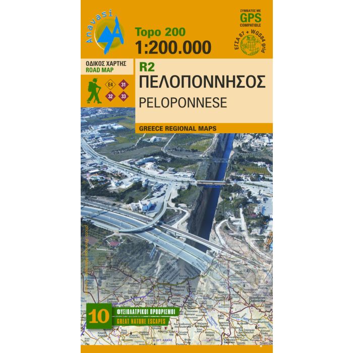
Anavasi has met the challenge of producing small-scale but still very accurate maps. The map of Peloponnese figures 200 meters contour lines and has a shaded relief. The dense road and settlements network, the Archaeological sites, the monasteries, beaches, campings, mountain refuges and the course of the E4 trail are accurately recorded on the map. On the back side of the map there is an index of 3840 settlements