We use cookies to make your experience better. To comply with the new e-Privacy directive, we need to ask for your consent to set the cookies. Learn more
Nicholson Waterways Guides Norfolk Broads
Waterways Guide 8
£9.99
In Stock
Usually dispatched within 24 hrs. Free delivery to UK for orders £25 and over
For all users of the inland waterways.
| Cordee Code: | CTK799 |
|---|---|
| Page Size: | 150 x 210 mm |
| No of Pages: | 96 |
| Publisher: | Harper Collins |
| ISBN13: | 9780008772222 |
| Published Date: | September 2025 |
| Edition: | 5th Ed, 2025 |
| Binding: | Spiral/wirobound |
| Illustrations: | Colour thoughout |
| Weight: | 170g |
| Product Type: | Book |
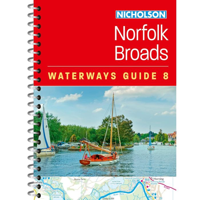
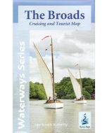
This popular and practical guide covers the waterways of the Broads National Park, including the Norfolk and Suffolk Broads and the Rivers Ant, Bure, Thurne, Wensum, Yare, Chet and Waveney.
The up-to-date detailed maps clearly show the location of essential features such as boating facilities, as well as pubs, shops and restaurants in the area. There are comprehensive navigational notes and descriptive text on the history of The Broads, and on local services and places of interest, for which postcodes are included - ideal for use with sat-navs. Scale: 2 inches = 1 mile, 3 cm = 1 km.
This practical A5 guide features 'lie flat' spiral binding and 'book mark' back cover flap for ease of reference.
The Broads are one of Britain's best-known holiday boating areas. They make up Britain's largest and most important protected wetland and are a national park providing a home to some of the rarest plants and animals in the country. A unique and enchanting wetland, with over 125 miles of lock-free navigable tidal waters, all waiting to be explored.
Other titles of interest:
Useful maps
-
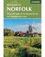 Walking in Norfolk40 circular walks in the Broads, Brecks, Fens and along the£14.95
CP0403
In Stock -
-
-