We use cookies to make your experience better. To comply with the new e-Privacy directive, we need to ask for your consent to set the cookies. Learn more
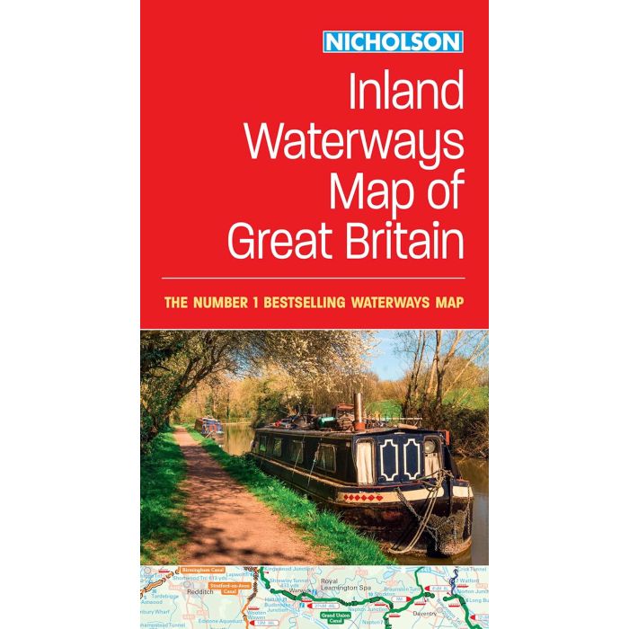
Collins Nicholson Inland Waterways Map of Great Britain
£8.99
In Stock
Usually dispatched within 24 hrs. Free delivery to UK for orders £25 and over
| Cordee Code: | CTK779 |
|---|---|
| Page Size: | 133 x 240 mm |
| No of Pages: | 2 |
| Publisher: | Harper Collins |
| ISBN13: | 9780008652876 |
| Published Date: | February 2023 |
| Edition: | 2023 |
| Binding: | Sheet Map (folded) |
| Weight: | 160g |
| Product Type: | Map |
| Countries: | United Kingdom |
The map companion to the Collins/Nicholson Waterways Guides, covering the entire network of canal and river navigations in England, Scotland and Wales, including newly restored/opened canals and rivers.
The map identifies:
- narrow and broad canals;
- navigable rivers;
- tidal river navigations;
- waterways under construction.
Also:
- contact telephone numbers and dimensions for each waterway;
- internet links.
Clear insets of the Birmingham Canal Navigations, Scottish inland waterways, the Norfolk Broads and the London area.

