We use cookies to make your experience better. To comply with the new e-Privacy directive, we need to ask for your consent to set the cookies. Learn more
Mont Saleve 3430 OT
Saint-Julien-en-Genevois Annemasse
£15.80
Temp Out Of Stock
| Cordee Code: | CMF742 |
|---|---|
| Page Size: | 110 x 240 mm |
| Publisher: | Ign Top 25 Maps |
| ISBN13: | 9782758554134 |
| Scale: | 1:25 000 |
| Published Date: | July 2023 |
| Binding: | Sheet Map (folded) |
| Weight: | 80g |
| Product Type: | Map |
| Countries: | France |
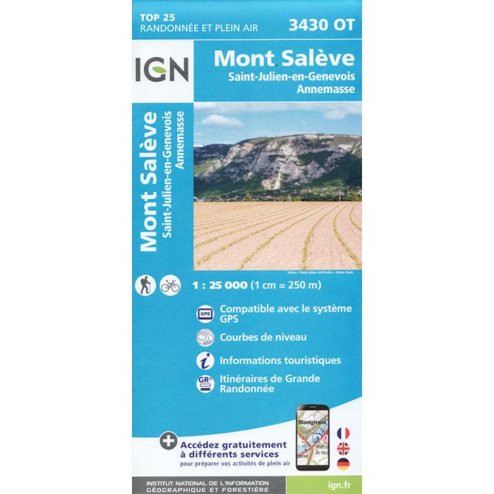
Topographic survey of France at 1:25,000 in IGN's excellent TOP25 / S?rie Bleue series. All the maps are GPS compatible, with a 1km UTM grid plus latitude and longitude lines at 5' intervals. Contours are at 5m intervals except for mountainous areas where the maps have contours at 10m intervals, vividly enhanced by hill shading and graphics for rocky terrain. Colouring with graphics indicates different types of vegetation or land use (deciduous or coniferous forests, moors, orchards, vineyards, etc).
-
-
-
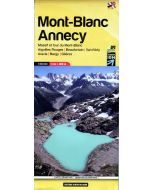 Mont Blanc Annecy 02 160000Aiguilles Rouges, Beaufortain, Val d A'rly, Aravis, Bargy...£13.99
CMR036
Temp Out Of StockOut of stock