We use cookies to make your experience better. To comply with the new e-Privacy directive, we need to ask for your consent to set the cookies. Learn more
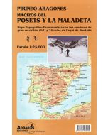
Macizon del Posets y la Maladeta
1:25,000 map
£9.99
In Stock
Usually dispatched within 24 hrs. Free delivery to UK for orders £25 and over
| Cordee Code: | CMM196 |
|---|---|
| Page Size: | 140 x 250 mm |
| Publisher: | Ediciones Adrados |
| ISBN13: | 9788494080722 |
| Author: | Adrados Map |
| Published Date: | July 2016 |
| Edition: | 2016 |
| Binding: | Sheet Map (folded) |
| Weight: | 80g |
| Geoarea: | Pyrenees |
| Product Type: | Map |
| Countries: | Spain |
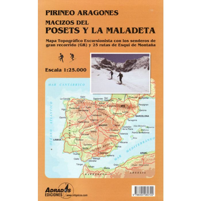
Posets and Maladeta Massifs in the central part of the Spanish Pyrenees on a double-sided, contoured and GPS compatible map at 1:25,000 from Adrados Ediciones, with vivid presentation of the topography, hiking or ski trails, campsites and refuges, etc. Coverage extends from Plan and the Zinqueta River west of the Poset massif, across the Benasque Valley and Pico Aneto, to Espitau de Vielha in Val d'Aran.
The map has contours at 20m intervals vividly enhanced by shading and finely drawn graphic relief. Local paths indicate well marked and difficult routes, with an overprint highlighting the course of the GR11 long-distance trail and ski routes. Symbols show locations of campsites and refuges, climbing or kayaking locations, information offices, etc. Local roads show locations of petrol stations. The map has a 1km UTM grid. Map legend is in Spanish only.
Also provided is a list of recommended ski traverse, a list of mountain refuges showing capacity and services, plus a list of local caves.
-
 Aneto Maladeta Valles de Benasque y Barraves1:25,000 map + hiking guide (in english)£16.99
CMM007
Temp Out Of Stock -
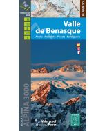 Valle de Benasque 130000Aneto, Maladeta, Posets, Perdiguero£14.99
CMM173
Temp Out Of StockOut of stock -