We use cookies to make your experience better. To comply with the new e-Privacy directive, we need to ask for your consent to set the cookies. Learn more
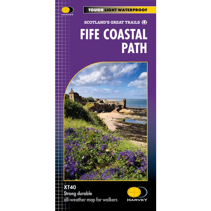
Fife Coastal Path XT40
£16.50
In Stock
Usually dispatched within 24 hrs. Free delivery to UK for orders £25 and over
| Cordee Code: | CMH386 |
|---|---|
| Page Size: | 116 x 243 mm |
| No of Pages: | 1 |
| Publisher: | Harvey Maps |
| ISBN13: | 9781851376902 |
| Scale: | 1:40 000 |
| Author: | Harvey Maps |
| Published Date: | September 2024 |
| Edition: | Sep 2024 |
| Binding: | Sheet Map (folded) |
| Weight: | 50g |
| Product Type: | Map |
| Countries: | United Kingdom |
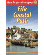
The Fife Coastal Path offers a diverse range of landscapes, including rugged cliffs, sandy beaches, quaint fishing villages, and historic castles. The path provides walkers with opportunities to explore nature reserves, spot wildlife and enjoy panoramic sea views. Key attractions include the historic university town of St Andrews, the challenging Elie Chainwalk, and the Forth Bridges. Suitable for all levels of walkers the route is accessible year-round.
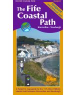
Map shows Kincardine to Newburgh, 187 km (116 miles) in length, with the entire Fife Coastal Path clearly marked.
Based on original HARVEY mapping with all the detail a walker would expect at 1:40,000 scale.
Information on accommodation and services.
Lightweight, detailed, clear and easy to read.
Printed on tough 100% waterproof, tearproof paper.