We use cookies to make your experience better. To comply with the new e-Privacy directive, we need to ask for your consent to set the cookies. Learn more
The Fife Coastal Path
Kincardine to Newburgh
£10.95
In Stock
Usually dispatched within 24 hrs. Free delivery to UK for orders £25 and over
High quality, specially created strip map of this unique 117 mile coastal path from the Kincardine Bridge to Newburgh on the Firth of Tay.
For every copy of this map sold, a donation goes towards the practical management of the Fife Costal Path.
For every copy of this map sold, a donation goes towards the practical management of the Fife Costal Path.
| Cordee Code: | CWN495 |
|---|---|
| Page Size: | 450 x 840 mm |
| Publisher: | Stirling Surveys |
| ISBN13: | 9781871149999 |
| Scale: | 1:40 000 |
| Author: | Stirling Surveys |
| Published Date: | May 2019 |
| Edition: | 3rd, May 2019 |
| Binding: | Sheet Map (folded) |
| Illustrations: | Full colour mapping |
| Weight: | 64g |
| Product Type: | Map |
| Countries: | Scotland |
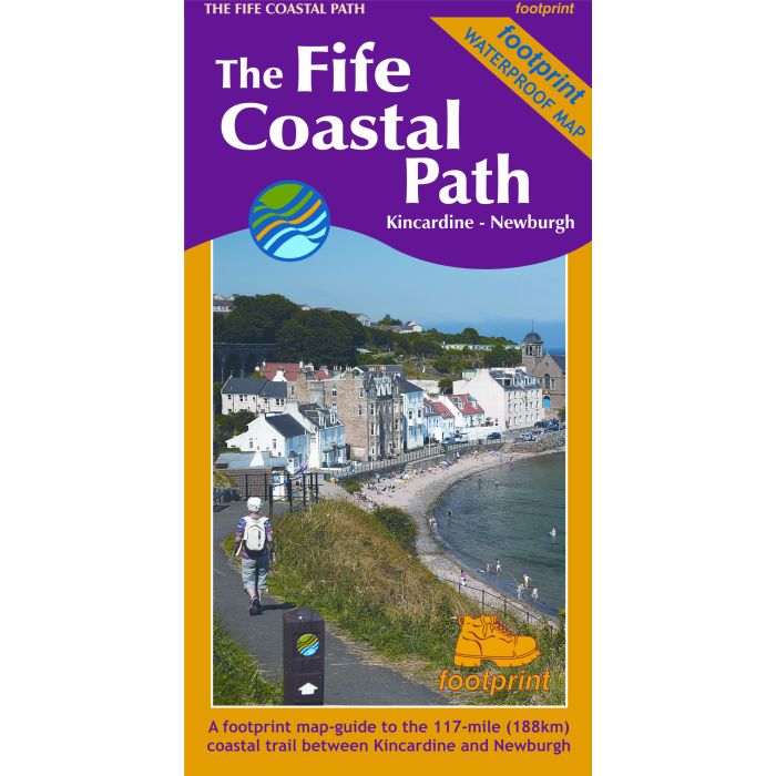
High quality, specially created strip map of this unique 117 mile coastal path from the Kincardine Bridge to Newburgh on the Firth of Tay.
This new edition contains maps of the whole route, at 1:40,000 and based on OS data. Compact and concise, the map is printed on waterproof paper and is supplied in a durable slipcase.
For every copy of this map sold, a donation goes towards the practical management of the Fife Costal Path.
This new edition contains maps of the whole route, at 1:40,000 and based on OS data. Compact and concise, the map is printed on waterproof paper and is supplied in a durable slipcase.
For every copy of this map sold, a donation goes towards the practical management of the Fife Costal Path.