We use cookies to make your experience better. To comply with the new e-Privacy directive, we need to ask for your consent to set the cookies. Learn more
Fforest Fawr Earthwise Map
Exploring the landscape of a Global Geopark
£6.95
In Stock
Usually dispatched within 24 hrs. Free delivery to UK for orders £25 and over
| Cordee Code: | CGM556 |
|---|---|
| Page Size: | 135 x 227 mm |
| Publisher: | British Geological Survey |
| ISBN13: | 9780751837841 |
| Scale: | 1:50 000 |
| Published Date: | March 2014 |
| Edition: | 1st edition, March 2014 |
| Binding: | Sheet Map (folded) |
| Weight: | 120g |
| Product Type: | Map |
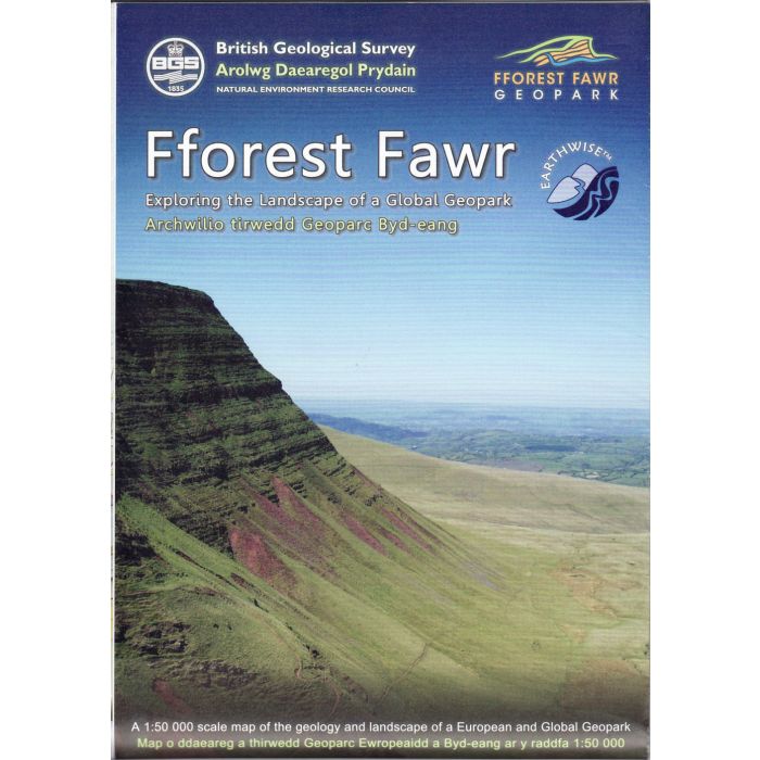
Situated in South Wales, the Fforest Fawr Geopark occupies the western half of the Brecon Beacons National Park. The mountains and moorland of Fforest Fawr (Great Forest in English) lie at the heart of the Geopark which also incorporates the surrounding countryside including the Black Mountain, the upper Usk valley and part of the Brecon Beacons.
This upland landscape, formed over the last 470 million years of geological time, has a varied and fascinating history. The different solid rocks underlying the Geopark were laid down over 300 million years ago. These rocks have been deformed by uplift, and in the last 2.6 million years were eroded and sculpted by glaciers to leave the landscape much as it is today.
This map provides an introduction to the geology of the Geopark including an overview map of the bedrock geology, a simplified unconsolidated superficial deposits map, a key to the major geological events and a schematic interpretation of how the rocks extend underground. Also shown are selected geological sites and places where geology has played an important role in the historic economic development of the region.
-
-
-
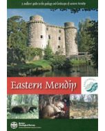 Eastern MendipA Walker's Guide to the Geology and Landscape of Eastern Mendip£12.00
CGB011
In Stock