We use cookies to make your experience better. To comply with the new e-Privacy directive, we need to ask for your consent to set the cookies. Learn more
Charnwood Forest and Mountsorrel
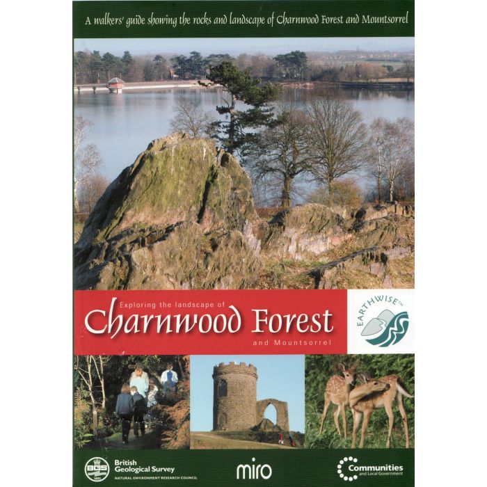
Map and guide Exploring the landscape of
£12.00
Temp Out Of Stock
| Cordee Code: | CGB009 |
|---|---|
| Page Size: | 145 x 210 mm |
| No of Pages: | 52 |
| Publisher: | British Geological Survey |
| ISBN13: | 9780852725702 |
| Language: | English |
| Published Date: | January 2007 |
| Edition: | 1st |
| Binding: | Map And Guide |
| Illustrations: | colour photos and maps |
| Weight: | 272g |
| Product Type: | Map and Guide |
Explore 600 million years of geology through a series of walks and discover the evolution of the Leicestershire landscape. You will see natural rock exposures and many quarries resulting from the rich industrial heritage of the area. There is something here for everyone, from the Sunday stroller to the keen walker, as well as both amateur and professional geologists.
Charnwood Forest in Leicestershire has highly distinctive scenery, with crags of ancient Precambrian rocks jutting through a cover of much younger strata. These ancient rocks have long fascinated geological enthusiasts. Illustrated in this map and guideobok are the many discoveries made in this area, including the 'roots' of volcanoes and Britain's oldest fossils.
Charnwood Forest in Leicestershire has highly distinctive scenery, with crags of ancient Precambrian rocks jutting through a cover of much younger strata. These ancient rocks have long fascinated geological enthusiasts. Illustrated in this map and guideobok are the many discoveries made in this area, including the 'roots' of volcanoes and Britain's oldest fossils.