We use cookies to make your experience better. To comply with the new e-Privacy directive, we need to ask for your consent to set the cookies. Learn more
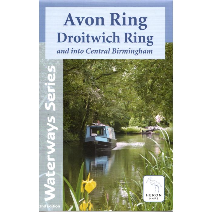
Avon Ring and Droitwich Ring
and into Central Birmingham
£7.99
In Stock
Usually dispatched within 24 hrs. Free delivery to UK for orders £25 and over
| Cordee Code: | CTK795 |
|---|---|
| Page Size: | 141 x 221 mm |
| No of Pages: | 2 |
| Publisher: | Heron Maps Consignment |
| ISBN13: | 9781908851420 |
| Scale: | 1:30,000 |
| Published Date: | June 2025 |
| Edition: | 21/07/2025 |
| Binding: | Sheet Map (folded) |
| Weight: | 60g |
| Product Type: | Map |
| Countries: | United Kingdom |
A full colour map of the Avon and Droitwich Rings suitable for both waterways and leisure users.
This map gives detailed coverage of the Avon and Droitwich Rings including the whole of the Worcester and Birmingham Canal into the heart of Birmingham, with emphasis on the waterways and information useful and relevant to users of the waterways without neglecting other leisure users. The map detail is complimented by information panels and photographs.
The Avon Ring comprises the Stratford-upon-Avon Canal, the River Avon from Stratford to Tewkesbury, the River Severn from Tewkesbury to Worcester and the Worcester and Birmingham Canal from there to King's Norton Junction, the start of the Stratford-upon-Avon Canal. We have shown the full extent of the Worcester and Birmingham on into Birmingham's city centre. Whilst the Droitwich Ring is made up of the Droitwich Barge and Droitwich Junction Canals, the River Severn between Hawford and Diglis on the outskirts of Worcester, and the bottom section of the Worcester and Birmingham between Diglis and Hanbury Junction.
This tourist map is at 1:50000 with detailed town plans of Stratford-upon-Avon, Evesham, Droitwich Spa, Worcester, Pershore and Tewkesbury at 1:12500. An additional plan of the heart of Birmingham at 1:10000 is also included.
