We use cookies to make your experience better. To comply with the new e-Privacy directive, we need to ask for your consent to set the cookies. Learn more
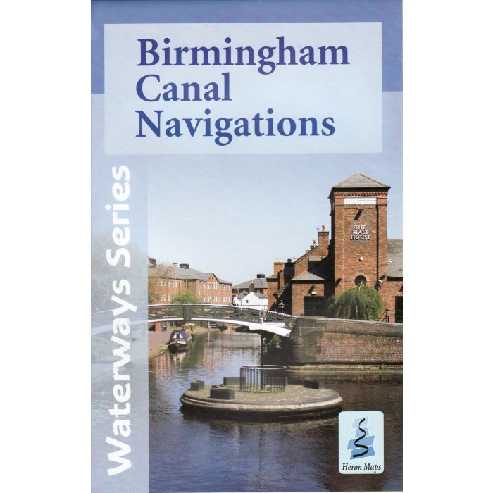
Birmingham Canal Navigations Map
incl Birmingham Town Map
£5.99
In Stock
Usually dispatched within 24 hrs. Free delivery to UK for orders £25 and over
Tourist map of the Birmingham Canal Navigations at 1:30,000, with a detailed town plan of Central Birmingham at 1:10,000. Includes navigation and historical information, visitor moorings, marinas and boatyards, boat hire centres, facilities for the boat user, sailing and boat clubs, shops, post offices and distance markers
| Cordee Code: | CTK635 |
|---|---|
| Page Size: | 136 x 212 mm |
| No of Pages: | 2 |
| Publisher: | Heron Maps Consignment |
| ISBN13: | 9781908851017 |
| Scale: | 1:30,000 |
| Published Date: | April 2012 |
| Binding: | Sheet Map (folded) In Wallet |
| Weight: | 50g |
| Product Type: | Map |
| Countries: | United Kingdom |
Tourist map of the Birmingham Canal Navigations at 1:30,000, with a detailed town plan of Central Birmingham at 1:10,000. Includes navigation and historical information, visitor moorings, marinas and boatyards, boat hire centres, facilities for the boat user, sailing and boat clubs, shops, post offices and distance markers. Information for the tourist includes tourist information centres, places of interest, pubs, nature reserves, parks, gardens and open areas, churches, national cycle routes, long distance paths, public toilets and youth hostels.