We use cookies to make your experience better. To comply with the new e-Privacy directive, we need to ask for your consent to set the cookies. Learn more
Yorkshire Dales North East Superwalker XT25
1:25,000 Harvey Map
£15.50
In Stock
Usually dispatched within 24 hrs. Free delivery to UK for orders £25 and over
| Cordee Code: | CMH249 |
|---|---|
| Page Size: | 116 x 243 mm |
| Publisher: | Harvey Maps |
| ISBN13: | 9781851375639 |
| Published Date: | February 2016 |
| Edition: | 2016 |
| Binding: | Sheet Map (folded) In Wallet |
| Weight: | 75g |
| Product Type: | Map |
| Countries: | United Kingdom |
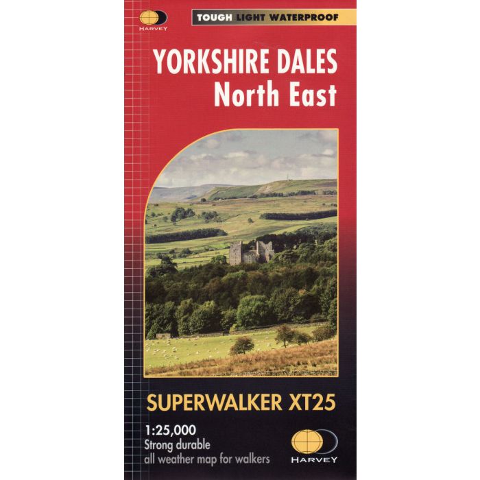
Includes Swaledale, Wharfedale, Wensleydale and Nidderdale, Askrigg, Aysgarth, Kettlewell and Reeth.
Detailed map for hillwalkers of the north eastern part of the Yorkshire Dales National Park at the popular scale of 1:25,000.
Tough, light, durable and 100% waterproof; Genuine, original, HARVEY mapping; Includes Rights of Way; Opens directly to either side of the sheet; Easy to re-fold.
Detailed map for hillwalkers of the north eastern part of the Yorkshire Dales National Park at the popular scale of 1:25,000.
Tough, light, durable and 100% waterproof; Genuine, original, HARVEY mapping; Includes Rights of Way; Opens directly to either side of the sheet; Easy to re-fold.