We use cookies to make your experience better. To comply with the new e-Privacy directive, we need to ask for your consent to set the cookies. Learn more
Yorkshire Dales South West Superwalker XT25
1:25,000 Harvey Map
£15.50
In Stock
Usually dispatched within 24 hrs. Free delivery to UK for orders £25 and over
| Cordee Code: | CMH250 |
|---|---|
| Page Size: | 116 x 243 mm |
| Publisher: | Harvey Maps |
| ISBN13: | 9781851375622 |
| Scale: | 1:25,000 |
| Published Date: | February 2016 |
| Edition: | 2016 |
| Binding: | Sheet Map (folded) In Wallet |
| Weight: | 75g |
| Product Type: | Map |
| Countries: | United Kingdom |
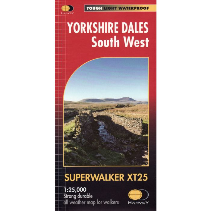
Includes the Yorkshire Three Peaks: Whernside, Ingleborough and Pen-y-ghent, Kirkby Lonsdale, Dent and Hawes.
Detailed map for hillwalkers of the south western part of the Yorkshire Dales National Park at the popular scale of 1:25,000.
Tough, light, durable and 100% waterproof; Genuine, original, HARVEY mapping; Includes Rights of Way; Opens directly to either side of the sheet; Easy to re-fold.
Detailed map for hillwalkers of the south western part of the Yorkshire Dales National Park at the popular scale of 1:25,000.
Tough, light, durable and 100% waterproof; Genuine, original, HARVEY mapping; Includes Rights of Way; Opens directly to either side of the sheet; Easy to re-fold.