We use cookies to make your experience better. To comply with the new e-Privacy directive, we need to ask for your consent to set the cookies. Learn more
Zermatt Saas Fee Hiking Map
1:60 000
£19.99
In Stock
Usually dispatched within 24 hrs. Free delivery to UK for orders £25 and over
| Cordee Code: | KF0048 |
|---|---|
| Page Size: | 126 x 203 mm |
| No of Pages: | 2 |
| Publisher: | Kummerly And Frey |
| ISBN13: | 9783259022245 |
| Published Date: | December 2015 |
| Edition: | 2015 |
| Binding: | Sheet Map (folded) |
| Weight: | 50g |
| Product Type: | Map |
| Countries: | Switzerland |
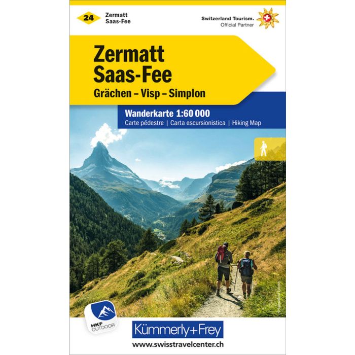
In the Kummerly & Frey Hiking Map Zermatt Saas-Fee, scale 1:60,000, you will find everything you need for orientation and inspiration.
The map covers the most important areas, from Zermatt, Saas-Fee, Gr?chen, Visp, Sierre, Simplon, Dufourspitze, Gornergrat to Brig.
Thanks to clearly marked, easy-to-read, and up-to-date hiking trails, the clean map design, the clear representation of the terrain, and the option to download the map via the HKF Outdoor App, this map is the perfect tool to make the most of your visit in this exceptional region.
The map contains detailed topographic information such as 25-meter contour lines and altitudes of mountain peaks, passes, and larger lakes, providing a precise depiction of the terrain. Hikers thus gain a particularly realistic impression of the landscape.
The folding map for hikers is made of sturdy paper, largely resistant to water and tearing. Even in challenging weather conditions, it won't let you down.
In case the GPS doesn't work or your phone runs out of battery, the clearly marked hiking trails, viewpoints, train stations, places to rest, camping sites, parking lots, etc. on the map will always help you maintain your orientation.