We use cookies to make your experience better. To comply with the new e-Privacy directive, we need to ask for your consent to set the cookies. Learn more
Zermatt Hiking maps
with routes
£19.99
In Stock
Usually dispatched within 24 hrs. Free delivery to UK for orders £25 and over
| Cordee Code: | KF0045 |
|---|---|
| Page Size: | 111 x 200 mm |
| No of Pages: | 2 |
| Publisher: | Kummerly And Frey |
| ISBN13: | 9783828309739 |
| Published Date: | April 2024 |
| Edition: | 2024 |
| Binding: | Sheet Map (folded) |
| Weight: | 50g |
| Product Type: | Map |
| Countries: | Switzerland |
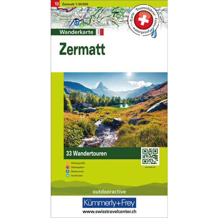
In the Kummerly & Frey Zermatt hiking map at a scale of 1:50,000, the most beautiful hiking routes of the region have been compiled for you.
The map displays the main areas of interest from Susten, Eischoll, Visp, Zermatt, Saas-Fee, Breithorn, Monte Rosa, etc.
Thanks to the clearly marked, easily readable, and up-to-date hiking trails, the clean map image, and the clear terrain representation, this map is the perfect tool to make the most of your visit to this exceptional region. With the hiking route suggestions marked on the map, you can easily find an adventure in your region.
The map contains detailed topographic information such as contour lines as well as altitude information for mountain peaks, passes, and larger lakes, providing a precise representation of the terrain. In collaboration with Outdooractive, we have incorporated all the essential information about the proposed most beautiful tours: altitude profiles, hiking duration, restaurants, post bus stops, and much more!
The foldable map for hikers is made of sturdy, largely water-resistant, and tear-resistant paper. Even in difficult weather conditions, it won't let you down.
If the GPS is not working or the phone runs out of battery, the clearly marked hiking trails, viewpoints, train stations, dining options, campgrounds, parking lots, etc. on the map will always help you keep your orientation.