We use cookies to make your experience better. To comply with the new e-Privacy directive, we need to ask for your consent to set the cookies. Learn more
ZermattGornegrat 2515
1:25 000 Composite
£21.99
Temp Out Of Stock
Map No. 2515, Zermatt - Gornergrat, in the topographic survey of Switzerland at 1:25,000 from Swisstopo, covering the upper part of the Mattertal with Tasch and Zermatt and extending south across the peaks
| Cordee Code: | CMZ174 |
|---|---|
| Page Size: | 130 x 190 mm |
| Publisher: | Swisstopo |
| ISBN13: | 9783302025155 |
| Language: | English |
| Published Date: | February 2006 |
| Binding: | Sheet Map (folded) |
| Weight: | 100g |
| Product Type: | Map |
| Countries: | Switzerland |
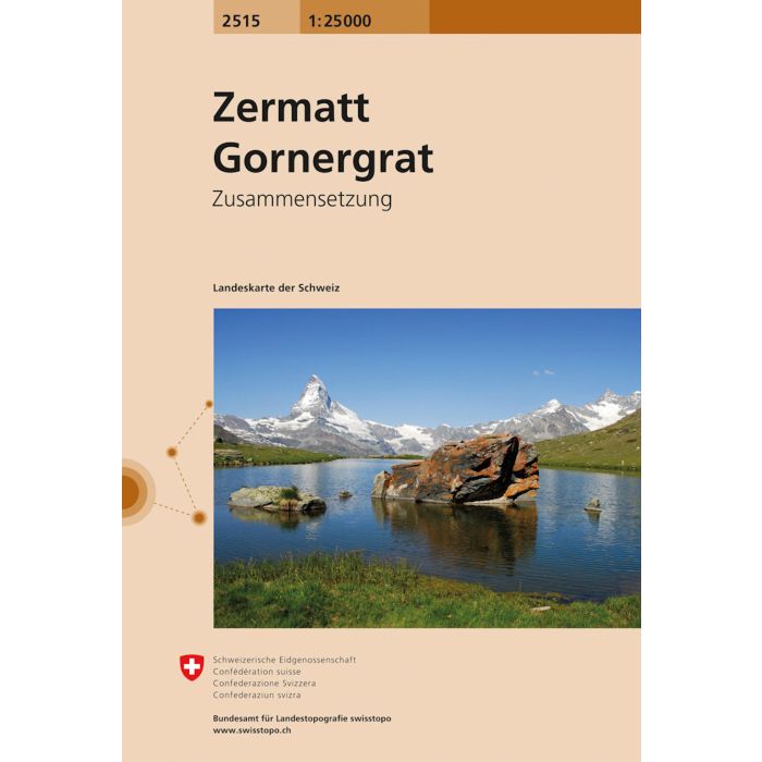
Map No. 2515, Zermatt - Gornergrat, in the topographic survey of Switzerland at 1:25,000 from Swisstopo, covering the upper part of the Mattertal with Tasch and Zermatt and extending south across the peaks (Monte Rosa/Dufourspitze, Breithorn, Theodulpass, Matterhorn and Dents d'Herens) to Breuil-Cervinia in Italy. Peaks on both sides of the Mattertal include Dent Blanche, Zinalrothorn, Alphubel, Allalinhorn and Rimpfischhorn. The map also covers the railway line from Zermatt to Gornergrat.
Swiss topographic survey at 1:25,000 covers the whole country on 247 small format sheets, with special larger maps published for popular regions including some titles now available in hiking versions. Highly regarded for their superb use of graphic relief and hill shading, the maps give an almost 3-D picture of Switzerland's mountainous terrain. Contours are at 10 m intervals, with 20m intervals in the mountainous areas. All the maps have a 1-km grid for Swiss national coordinates (datum CH 1903).
Swiss topographic survey at 1:25,000 covers the whole country on 247 small format sheets, with special larger maps published for popular regions including some titles now available in hiking versions. Highly regarded for their superb use of graphic relief and hill shading, the maps give an almost 3-D picture of Switzerland's mountainous terrain. Contours are at 10 m intervals, with 20m intervals in the mountainous areas. All the maps have a 1-km grid for Swiss national coordinates (datum CH 1903).