We use cookies to make your experience better. To comply with the new e-Privacy directive, we need to ask for your consent to set the cookies. Learn more
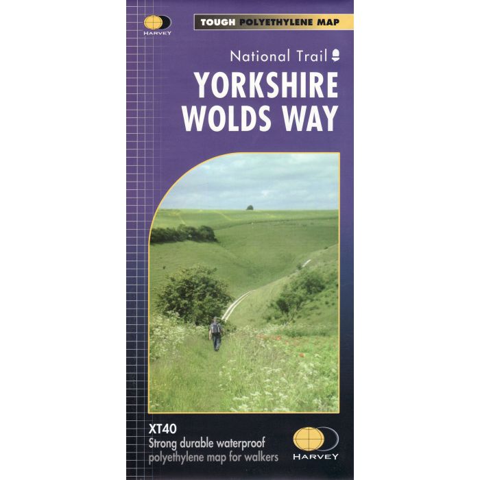
Yorkshire Wolds Way XT40 map
1:40,000 harvey map
£16.50
In Stock
Usually dispatched within 24 hrs. Free delivery to UK for orders £25 and over
| Cordee Code: | CMH289 |
|---|---|
| No of Pages: | 1 |
| Publisher: | Harvey Maps |
| ISBN13: | 9781851375929 |
| Scale: | 1: 40 000 |
| Published Date: | June 2017 |
| Edition: | 2017 |
| Binding: | Sheet Map (folded) In Wallet |
| Illustrations: | Colour |
| Weight: | 40g |
| Geoarea: | Yorkshire Wolds |
| Product Type: | Map |
| Countries: | United Kingdom |
The Yorkshire Wolds Way is a 79 mile (127 km) walking route in the chalk landscape of the Yorkshire Wolds. The National Trail wends through some of the most tranquil and gentle countryside in England. From the banks of the mighty Humber estuary, along wooded slopes and through serene dry valleys, the walk climbs gently onto the airy tops of the rolling hills where on a clear day you can see forever. Descending from the northern escarpment the final section of the way finishes on the dramatic headland of Filey Brigg.