We use cookies to make your experience better. To comply with the new e-Privacy directive, we need to ask for your consent to set the cookies. Learn more
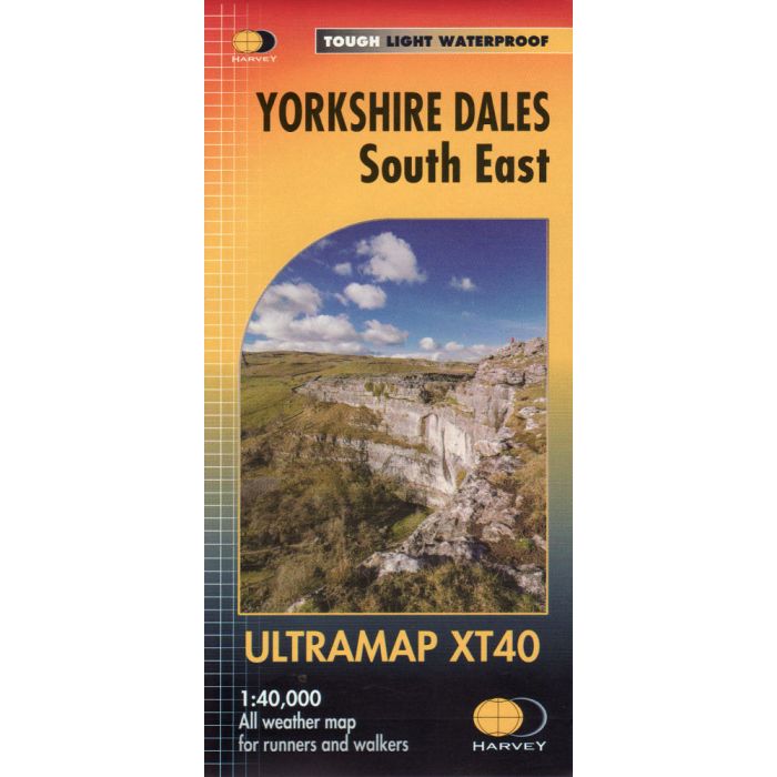
Yorkshire Dales South East XT40 Ultramap
1:40,000
£11.50
In Stock
Usually dispatched within 24 hrs. Free delivery to UK for orders £25 and over
| Cordee Code: | CMH262 |
|---|---|
| Page Size: | 73 x 152 mm |
| Publisher: | Harvey Maps |
| ISBN13: | 9781851375844 |
| Author: | Harvey |
| Published Date: | March 2016 |
| Edition: | 1st ed, March 2016 |
| Binding: | Sheet Map (folded) In Wallet |
| Weight: | 40g |
| Product Type: | Map |
| Countries: | United Kingdom |
Covers a large area yet is handily compact. Pocket perfect!
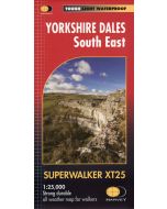
Detailed map for runners and walkers of the south eastern part of the Yorkshire Dales National Park at the magic scale of 1:40,000.
Includes Pen-y-ghent, Malham Cove, Wharfedale and Nidderdale, Settle, Skipton and Grassington.
Detailed map for runners and walkers of the south eastern part of the Yorkshire Dales National Park at the magic scale of 1:40,000.
Includes Pen-y-ghent, Malham Cove, Wharfedale and Nidderdale, Settle, Skipton and Grassington.