We use cookies to make your experience better. To comply with the new e-Privacy directive, we need to ask for your consent to set the cookies. Learn more
Yorkshire Dales British Mountain Map 140000
£18.50
In Stock
Usually dispatched within 24 hrs. Free delivery to UK for orders £25 and over
| Cordee Code: | CMH348 |
|---|---|
| Page Size: | 140 x 240 mm |
| No of Pages: | 1 |
| Publisher: | Harvey Maps |
| ISBN13: | 9781851376551 |
| Scale: | 1:40 000 |
| Published Date: | January 2023 |
| Edition: | 2023 |
| Binding: | Waterproof Map (folded) |
| Weight: | 100g |
| Product Type: | Map |
| Countries: | United Kingdom |
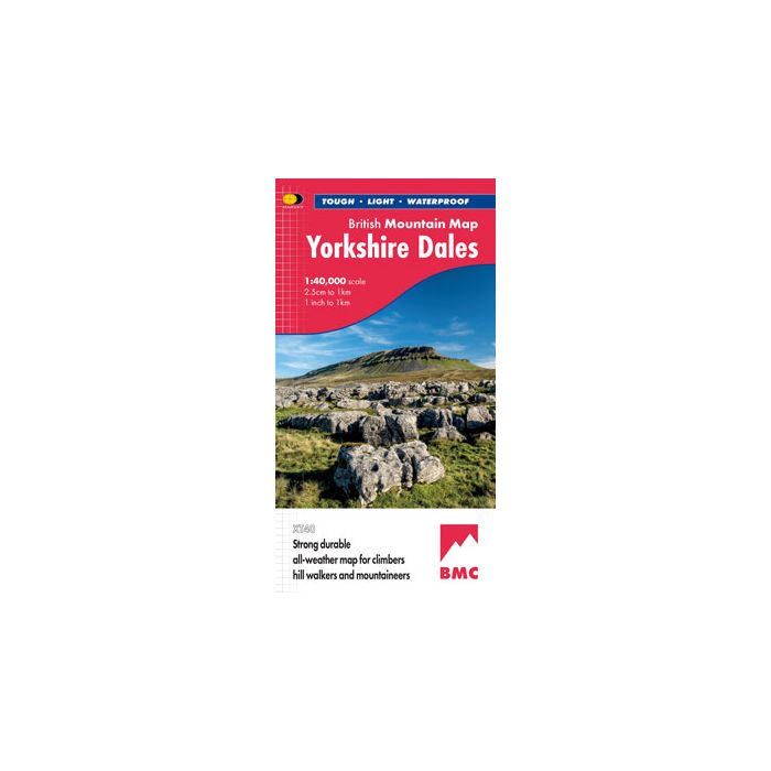
The British Mountain Map of the Yorkshire Dales covers a huge area: over 600 square miles of fresh air and freedom - all on one map. "I've walked, climbed and potholed all over the Yorkshire Dales and this inspiring and practical map will help you enjoy the fantastic scenery of this unique area" Alan Hinkes OBE. Printed on polyethylene - durable, tear-proof and 100% waterproof. Made in cooperation with the British Mountaineering Council, colour shading for easy identification of hills and valleys, detailed crag information for climbers. Geological map of the Yorkshire Dales specially designed by the British Geological Survey, mountain incident and first aid advice, tips on using your map and compass, useful local phone numbers and websites
-

-
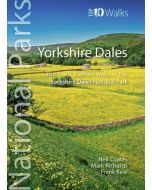 National Parks Yorkshire DalesFinest Walks in the Yorkshire Dales National Park (Top 10)£6.99
CWP789
In Stock