We use cookies to make your experience better. To comply with the new e-Privacy directive, we need to ask for your consent to set the cookies. Learn more
WWII Pacific and European Theaters
(folded from the archive) [Map Pack]
£24.95
In Stock
Usually dispatched within 24 hrs. Free delivery to UK for orders £25 and over
| Cordee Code: | NG0924 |
|---|---|
| No of Pages: | 2 |
| Publisher: | National Geographic Maps |
| ISBN13: | 9781566959933 |
| Published Date: | July 2026 |
| Edition: | 2026 |
| Binding: | Sheet Map (folded) |
| Weight: | 180g |
| Product Type: | Map |
Waterproof
Tear-Resistant
Topographic Maps
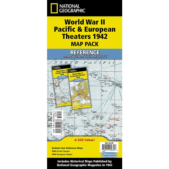
Step into the global scale of World War II with this combined reproduction of National Geographic's iconic Pacific and European Theater maps from 1942. From the vast expanse of the Pacific Ocean where distant islands like Midway and Iwo Jima became critical outposts to the interconnected battlefronts of Europe, Africa, and Western Asia, these maps capture a world at war. Together, they illustrate the immense geographic scope of the conflict, charting naval routes, strategic positions, and international boundaries as they stood at the war's outbreak, offering a powerful snapshot of history in motion.
Trusted by families, military planners, and leaders of the era, these maps stand as enduring records of a defining moment in the 20th century. Showcasing National Geographic's renowned precision and storytelling, they invite collectors and history enthusiasts to explore the complexity of global warfare. Printed on durable synthetic paper, each map is waterproof, tear-resistant, and built to withstand repeated use preserving the legacy of these historic documents for years to come.
Buy the Map Pack and save 15%!
The WWII Pacific and European Theaters Map Pack Bundle includes:
WWII Pacific Theater
WWII European Theater
Every Trails Illustrated map is printed on "Backcountry Tough" waterproof, tear-resistant paper. A full UTM grid is printed on the map to aid with GPS navigation.
Tear-Resistant
Topographic Maps
Step into the global scale of World War II with this combined reproduction of National Geographic's iconic Pacific and European Theater maps from 1942. From the vast expanse of the Pacific Ocean where distant islands like Midway and Iwo Jima became critical outposts to the interconnected battlefronts of Europe, Africa, and Western Asia, these maps capture a world at war. Together, they illustrate the immense geographic scope of the conflict, charting naval routes, strategic positions, and international boundaries as they stood at the war's outbreak, offering a powerful snapshot of history in motion.
Trusted by families, military planners, and leaders of the era, these maps stand as enduring records of a defining moment in the 20th century. Showcasing National Geographic's renowned precision and storytelling, they invite collectors and history enthusiasts to explore the complexity of global warfare. Printed on durable synthetic paper, each map is waterproof, tear-resistant, and built to withstand repeated use preserving the legacy of these historic documents for years to come.
Buy the Map Pack and save 15%!
The WWII Pacific and European Theaters Map Pack Bundle includes:
WWII Pacific Theater
WWII European Theater
Every Trails Illustrated map is printed on "Backcountry Tough" waterproof, tear-resistant paper. A full UTM grid is printed on the map to aid with GPS navigation.