We use cookies to make your experience better. To comply with the new e-Privacy directive, we need to ask for your consent to set the cookies. Learn more
WKD 4 GarmischPartenkirchen weatherstein Mountains Werd
£12.90
Temp Out Of Stock
| Cordee Code: | FB0927 |
|---|---|
| Page Size: | 100 x 205 mm |
| Publisher: | Freytag & Berndt |
| ISBN13: | 9783850848152 |
| Published Date: | October 2017 |
| Binding: | Sheet Map (folded) |
| Weight: | 70g |
| Product Type: | Map |
| Countries: | Germany |
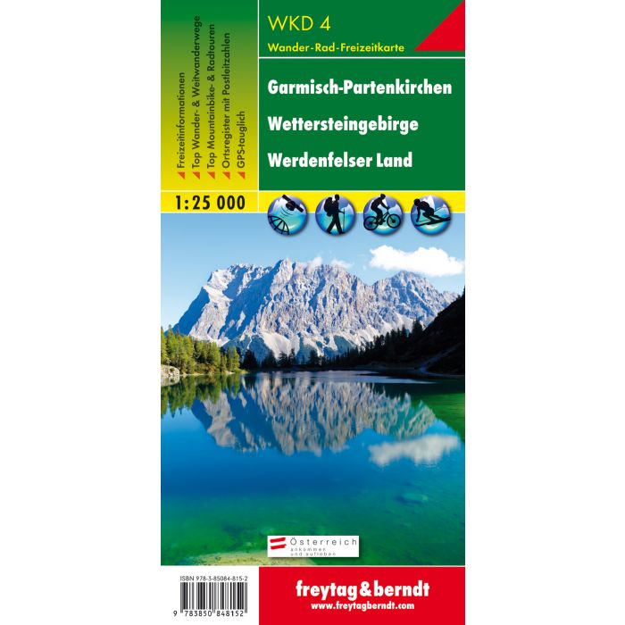
Thanks to the detailed digital cartography and the precise scales, freytag & berndt hiking maps are ideal companions for hiking, mountaineering and ski tours. The hiking map WKD 4 "Garmisch-Partenkirchen - Wettersteingebirge - Werdenfelser Land 1:25,000" is revised regularly and contains updated information on hiking trails, cycle and mountain bike routes, huts, natural monuments, cultural sights and leisure facilities. A selection of the best hiking trails, cycle paths and mountain bike trails as well as a brief description of the individual communities with their leisure activities provide information on the back of the map about the diverse range of activities in the region. (Language: German) Leisure information, hiking and long-distance hiking trails, mountain bike and cycling tours, register of places with postcodes, GPS-compatible, via ferrata, ski route, cross-country route, double-sided; Region: Bavaria, Wetterstein Mountains, Zugspitze, Werdenfelser Land, Garmisch-Partenkirchen; Special themed hiking trails: Nordalpenweg, Via Alpina; Special bike and mountain bike tours: Bike Trail Tirol mountain bike route; Environment maps: WK 322, WK 352, WK 321, WK 241;