We use cookies to make your experience better. To comply with the new e-Privacy directive, we need to ask for your consent to set the cookies. Learn more

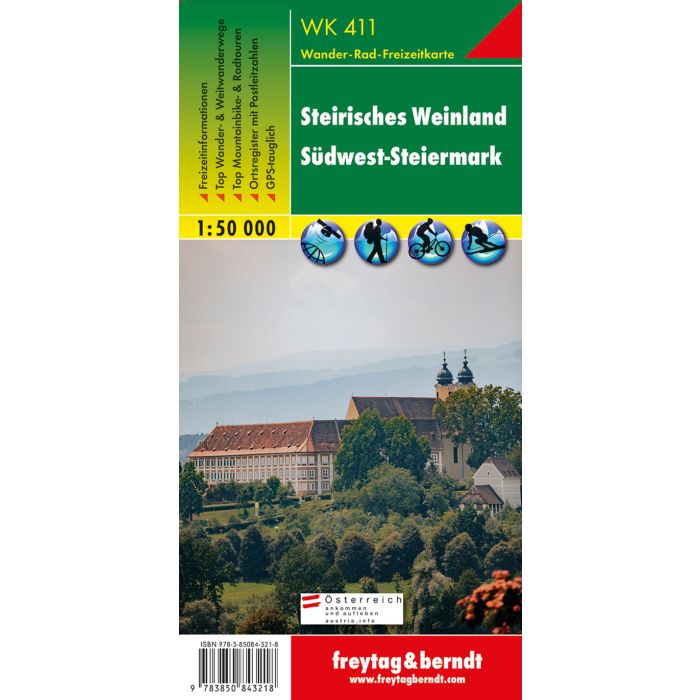
WK 411 Styrian wine country SouthwestStyria, Walking map
£12.90
Temp Out Of Stock
| Cordee Code: | FB0883 |
|---|---|
| Page Size: | 100 x 205 mm |
| Publisher: | Freytag & Berndt |
| ISBN13: | 9783850843218 |
| Published Date: | October 2019 |
| Binding: | Sheet Map (folded) |
| Weight: | 50g |
| Product Type: | Map |
| Countries: | Austria |
Thanks to the detailed digital cartography and the precise scales, freytag & berndt hiking maps are ideal companions for hiking, mountaineering and ski tours. The hiking map of the Styrian Wine Country is revised regularly and contains updated information on hiking trails, cycling and mountain biking trails, huts, natural monuments, cultural sights and leisure facilities. The enclosed information booklet contains a selection of the best hiking trails, cycle paths and mountain bike routes as well as a brief description of the individual communities and their leisure activities. (Language: German) Leisure information, hiking and long-distance hiking trails, mountain bike and cycling tours, register of places with postcodes, GPS-compatible, via ferrata, bridle path, ski route, cross-country route, Nordic walking route, double-sided; Special themed hiking trails: Mariazellerweg Jakobsweg, Via Alpina, Lavanttaler H?henweg, S?dsteirischer H?henweg, Grenzpanoramaweg, Grazer-Umland-Weg, Via Slavorum, From Glacier to Wine, Grabenland Trail, Vulkanland hiking trail, flowery roadside; Special cycling tours: Koralm mountain bike Schilcher tour, oil track tour, 2 rivers tour, Austria-Slovenija tour, Sausaler tour, wine route tour; Environment maps: WK 132, WK 133, WK 237, WK 238, WK 412; Wine Road Tour; Environment maps: WK 132, WK 133, WK 237, WK 238, WK 412; Wine Road Tour; Environment maps: WK 132, WK 133, WK 237, WK 238, WK 412;