We use cookies to make your experience better. To comply with the new e-Privacy directive, we need to ask for your consent to set the cookies. Learn more
WK 123 Matrei Defereggen Virgental, Walking map 1:50000
£12.90
In Stock
Usually dispatched within 24 hrs. Free delivery to UK for orders £25 and over
| Cordee Code: | FB0836 |
|---|---|
| Page Size: | 100 x 205 mm |
| Publisher: | Freytag & Berndt |
| ISBN13: | 9783850847148 |
| Published Date: | November 2017 |
| Binding: | Sheet Map (folded) |
| Weight: | 50g |
| Product Type: | Map |
| Countries: | Austria |
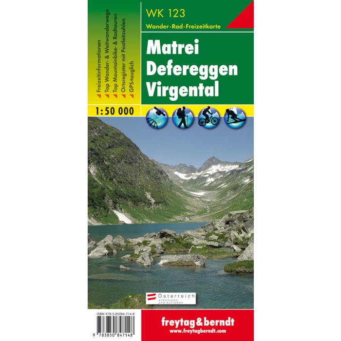
The hiking map "WK 123 Matrei - Defereggen - Virgental, 1:50,000" is revised regularly and contains updated information on hiking trails, cycle and mountain bike routes, huts, natural monuments, cultural sights and leisure facilities. The enclosed information booklet contains a selection of the best hiking trails, cycle paths and mountain bike routes as well as a brief description of the individual communities and their leisure activities. (Language: German) Leisure information, hiking and long-distance hiking trails, mountain bike and cycling tours, register of places with postcodes, GPS-compatible, via ferrata, ski route, cross-country route, Nordic walking route; Region: East Tyrol/Lienz district, Defereggental, Virgental, Iseltal, Hohe Tauern National Park Special themed hiking trails: Via Alpina, Arnoweg, Adlerweg, Innergschl?ss, Pr?gratner H?henweg, Umbal Falls, Gro?venediger, East Tyrol 360 degrees; Special mountain bike tours: Johannish?tte, Pitschedboden - Alkuser See, Lucknerhaus - Glocknerblick, Ausserbach - Innerbach Alm, Virgen-Strumerhof; Environment maps: WK 120, WK 121, WK 152, WK 181, WK 182, WK 382, ??WK S3; Thanks to the detailed digital cartography and the precise scales, freytag & berndt hiking maps are ideal companions for hiking, mountaineering and ski tours. WK S3; Thanks to the detailed digital cartography and the precise scales, freytag & berndt hiking maps are ideal companions for hiking, mountaineering and ski tours. WK S3; Thanks to the detailed digital cartography and the precise scales, freytag & berndt hiking maps are ideal companions for hiking, mountaineering and ski tours.