We use cookies to make your experience better. To comply with the new e-Privacy directive, we need to ask for your consent to set the cookies. Read our privacy and security policy

WK 023 Thermenregion Baden Forchtenstein pinklien Mounta
£12.90
In Stock
Usually dispatched within 24 hrs. Free delivery to UK for orders £25 and over
| Cordee Code: | FB0814 |
|---|---|
| Page Size: | 100 x 205 mm |
| Publisher: | Freytag & Berndt |
| ISBN13: | 9783707903393 |
| Published Date: | April 2020 |
| Binding: | Sheet Map (folded) |
| Weight: | 50g |
| Product Type: | Map |
| Countries: | Austria |
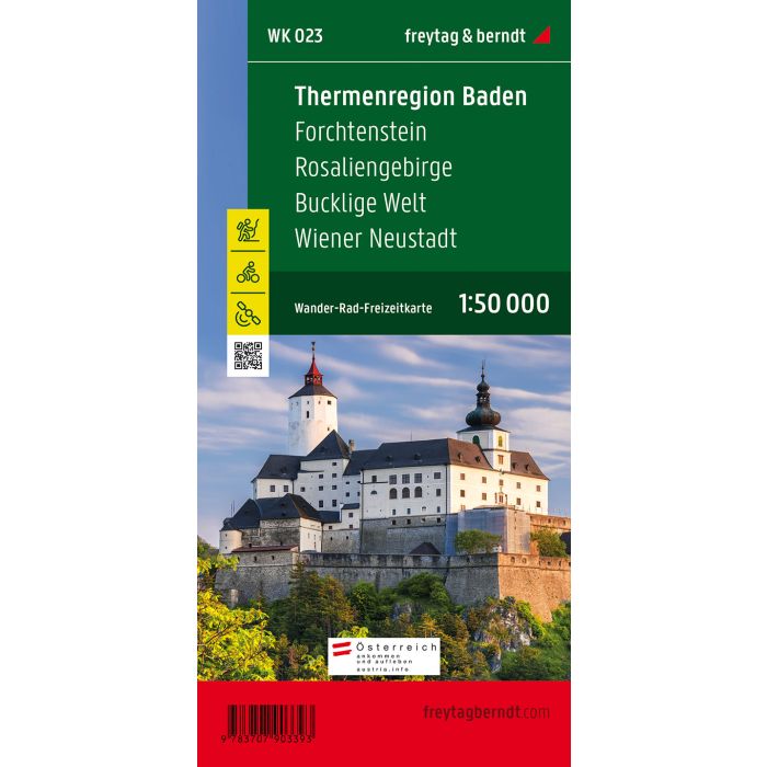
The hiking map "WK 023 Thermenregion Baden - Forchtenstein - Rosaliengebirge - Bucklige Welt - Wiener Neustadt, hiking map 1:50,000" is revised regularly and offers updated information on hiking trails, cycle and mountain bike trails, huts, natural monuments, cultural sights and leisure facilities. The enclosed information booklet contains a selection of the best hiking trails, cycle paths and mountain bike routes as well as a brief description of the individual communities and their leisure activities. (Language: German) Leisure information, hiking and long-distance hiking trails, mountain bike and cycling tours, register of places with postcodes, GPS-compatible, via ferrata, ski route, cross-country route, Nordic walking route; Region: industrial district, Wulkatal; Special themed hiking trails: Burgenland long-distance hiking trail, Beethoven hiking trail, Wienerwald Sternwanderweg, Piestingtaler Rundwanderweg, M?dlinger Rundwanderweg, Gloggnitzer Rundwanderweg, Hohe Wand and Einhornh?hle, Archduke Johann circular hiking trail, Essengraben circular hiking trail, Celtic circular hiking trail and cider tavern circuit; Special cycle and mountain bike tours: Alpentour Austria, Biedermeier cycle path, Eurovelo 9, Fischauer Vorberge cycle path, Hohe Wand cycle path, anniversary cycle path, Leithara cycle path, Pittental family cycle path, thermal region cycle path, Lindkogel route, Buma-Bia route, Mostrunde; Environment maps: WK 011, WK 012, WK 013, WK 022, WK 271, WK 422; Thanks to the detailed digital cartography and the precise scales, freytag & berndt hiking maps are ideal companions for hiking, mountaineering and ski tours. Gloggnitz circular hiking trail, Hohe Wand and Einhornh?hle, Archduke Johann circular hiking trail, Essengraben circular hiking trail, Celtic circular hiking trail and cider tavern circuit; Special cycle and mountain bike tours: Alpentour Austria, Biedermeier cycle path, Eurovelo 9, Fischauer Vorberge cycle path, Hohe Wand cycle path, anniversary cycle path, Leithara cycle path, Pittental family cycle path, thermal region cycle path, Lindkogel route, Buma-Bia route, Mostrunde; Environment maps: WK 011, WK 012, WK 013, WK 022, WK 271, WK 422; Thanks to the detailed digital cartography and the precise scales, freytag & berndt hiking maps are ideal companions for hiking, mountaineering and ski tours. Gloggnitz circular hiking trail, Hohe Wand and Einhornh?hle, Archduke Johann circular hiking trail, Essengraben circular hiking trail, Celtic circular hiking trail and cider tavern circuit; Special cycle and mountain bike tours: Alpentour Austria, Biedermeier cycle path, Eurovelo 9, Fischauer Vorberge cycle path, Hohe Wand cycle path, anniversary cycle path, Leithara cycle path, Pittental family cycle path, thermal region cycle path, Lindkogel route, Buma-Bia route, Mostrunde; Environment maps: WK 011, WK 012, WK 013, WK 022, WK 271, WK 422; Thanks to the detailed digital cartography and the precise scales, freytag & berndt hiking maps are ideal companions for hiking, mountaineering and ski tours. Alpentour Austria, Biedermeier cycle path, Eurovelo 9, Fischau foothills cycle path, Hohe Wand cycle path, anniversary cycle path, Leithara cycle path, Pittental family cycle path, thermal region cycle path, Lindkogel route, Buma-Bia route, Most round; Environment maps: WK 011, WK 012, WK 013, WK 022, WK 271, WK 422; Thanks to the detailed digital cartography and the precise scales, freytag & berndt hiking maps are ideal companions for hiking, mountaineering and ski tours. Alpentour Austria, Biedermeier cycle path, Eurovelo 9, Fischau foothills cycle path, Hohe Wand cycle path, anniversary cycle path, Leithara cycle path, Pittental family cycle path, thermal region cycle path, Lindkogel route, Buma-Bia route, Most round; Environment maps: WK 011, WK 012, WK 013, WK 022, WK 271, WK 422; Thanks to the detailed digital cartography and the precise scales, freytag & berndt hiking maps are ideal companions for hiking, mountaineering and ski tours.