We use cookies to make your experience better. To comply with the new e-Privacy directive, we need to ask for your consent to set the cookies. Learn more
Willisau 234
1:50 000
£12.99
Refer To Cus Serv
Available by special order, contact [email protected] and we can advise expected delivery date.
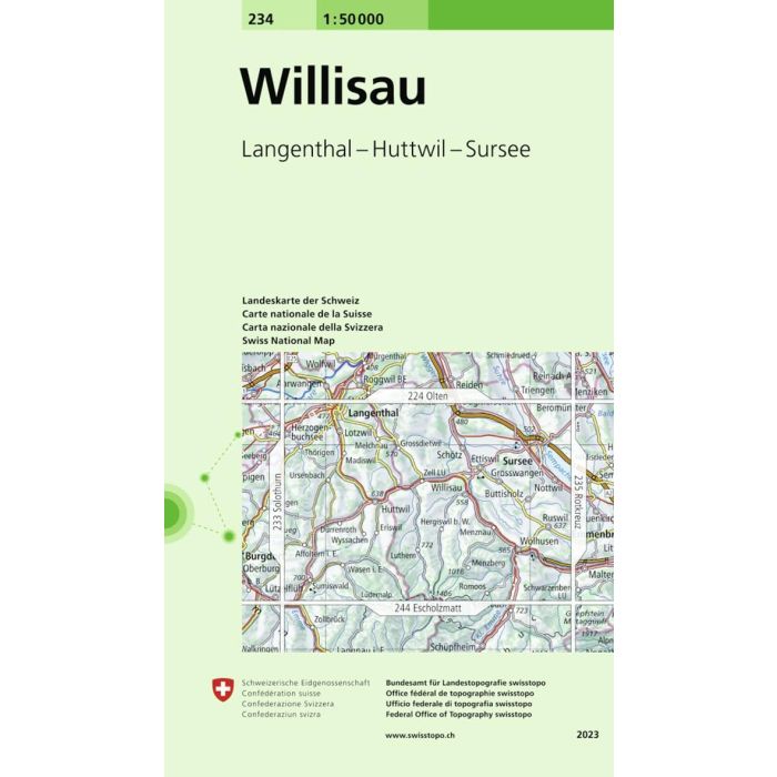
Willisau, map No. 234, in the standard topographic survey of Switzerland at 1:50,000 from Swisstopo, i.e. without the special overprint highlighting walking trails, local bus stops, etc, presented in Swisstopo's hiking editions of the 50K survey.
| Cordee Code: | CMZ131 |
|---|---|
| Page Size: | 130 x 190 mm |
| Publisher: | Swisstopo |
| ISBN13: | 9783302002347 |
| Author: | Swisstopo |
| Language: | English |
| Published Date: | May 1995 |
| Binding: | Sheet Map (folded) |
| Weight: | 50g |
| Product Type: | Map |
Willisau, map No. 234, in the standard topographic survey of Switzerland at 1:50,000 from Swisstopo, i.e. without the special overprint highlighting walking trails, local bus stops, etc, presented in Swisstopo's hiking editions of the 50K survey. Highly regarded for their superb use of graphic relief and hill shading, the maps give an almost 3-D picture of Switzerland's mountainous terrain. Contours are at 20m intervals. All the maps have a 1-km grid with the Swiss national coordinates.
This standard version of the 50K survey covers the whole country on 78 small format sheets, with special larger format maps published for several popular tourist destinations. Small format sheets cover an area of 35 x 24 km (21 x 15 miles approx) and have map legend in the language of the area covered by the map. The special larger sheets cover 50 x 35 km (31 x 22 miles approx) and have no map legend, but a separate leaflet can be provided instead.
This standard version of the 50K survey covers the whole country on 78 small format sheets, with special larger format maps published for several popular tourist destinations. Small format sheets cover an area of 35 x 24 km (21 x 15 miles approx) and have map legend in the language of the area covered by the map. The special larger sheets cover 50 x 35 km (31 x 22 miles approx) and have no map legend, but a separate leaflet can be provided instead.