We use cookies to make your experience better. To comply with the new e-Privacy directive, we need to ask for your consent to set the cookies. Read our privacy and security policy

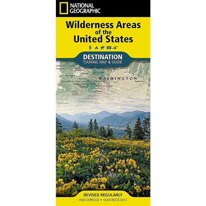
Wilderness Areas of the United States Map
Destination Touring Map & Guide
£14.95
In Stock
Usually dispatched within 24 hrs. Free delivery to UK for orders £25 and over
| Cordee Code: | NG0861 |
|---|---|
| Page Size: | 110 x 230 mm |
| Publisher: | National Geographic Maps |
| ISBN13: | 9781566959582 |
| Published Date: | July 2024 |
| Edition: | 1st ed, July 2024 |
| Binding: | Sheet Map (folded) |
| Weight: | 50g |
| Product Type: | Map and Guide |
National Geographic's Destination Map of Wilderness Areas of the United States highlights the more than 825 wilderness areas across America. The country is represented in subtle earth-tones with shaded mountain relief and intricately drawn river systems. Photos capture some of the diverse landscapes preserved and protected by the national park system. A list of all wilderness areas, sorted by state, is also included to help you find the closest wilderness. Wilderness areas are managed by four different government agencies: the U.S. Forest Service (USFS), National Park Service (NPS), U.S. Fish and Wildlife Service (FWS), and the Bureau of Land Management (BLM).
Every Destination Map is printed on durable synthetic paper, making them waterproof, tear-resistant and tough - capable of withstanding the rigors of any kind of travel.
Every Destination Map is printed on durable synthetic paper, making them waterproof, tear-resistant and tough - capable of withstanding the rigors of any kind of travel.