We use cookies to make your experience better. To comply with the new e-Privacy directive, we need to ask for your consent to set the cookies. Learn more
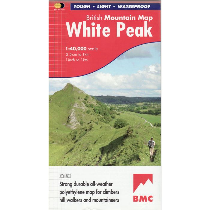
White Peak BMC Mountain Map 1:40,000
All of the White Peak's hills and dales on a single map
£18.50
In Stock
Usually dispatched within 24 hrs. Free delivery to UK for orders £25 and over
1:40,000 British Mountain Map of the White Peak, published by Harvey Maps in conjunction with the BMC. All of the White Peak's hills and dales on a single map, climbers' crags named and highlighted, the map has been extended to cover Matlock in the East and Edale in the North.
| Cordee Code: | CMH192 |
|---|---|
| Page Size: | 118 x 245 mm |
| Publisher: | Harvey Maps |
| ISBN13: | 9781851375134 |
| Scale: | 1:40000 |
| Published Date: | July 2012 |
| Edition: | 1st 2012 |
| Binding: | Sheet Map (folded) In Wallet |
| Weight: | 100g |
| Geoarea: | Peak District |
| Product Type: | Map |
This all-weather British Mountain Map for climbers, hill walkers, mountaineers and mountain bikers is published by HARVEY in cooperation with the British Mountaineering Council.
The colourful geological map on the back gives an understanding of the land form and was specially designed by the British Geological Survey,
All of the White Peak's hills and dales on a single map
Climbers' crags highlighted and named.
Colour shading for easy identification of hills and valleys
Printed on polyethylene - durable, tearproof and 100% waterproof. Less than half the weight of a laminated map.
The reverse side of the map includes: Map extensions: east to Matlock and north to Edale, Geological map
Mountain incident, first aid and navigation advice
Useful local phone numbers and websites