We use cookies to make your experience better. To comply with the new e-Privacy directive, we need to ask for your consent to set the cookies. Learn more
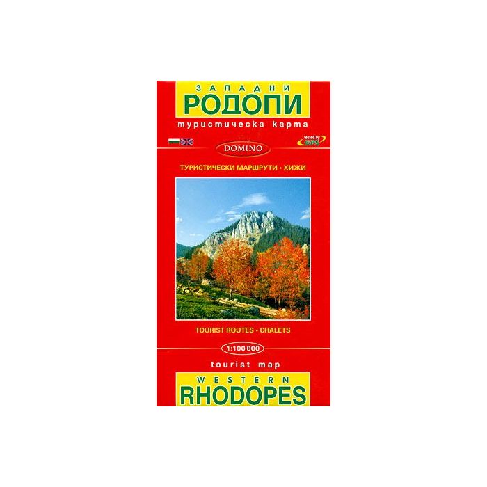
Western Rhodopes Map
1:100,000 scale
£6.99
In Stock
Usually dispatched within 24 hrs. Free delivery to UK for orders £25 and over
| Cordee Code: | BG0017 |
|---|---|
| Page Size: | 125 x 225 mm |
| No of Pages: | 1 |
| Publisher: | Domino Eood |
| ISBN13: | 9789546512055 |
| Binding: | Sheet Map (folded) |
| Weight: | 90g |
| Product Type: | Map |
| Countries: | Bulgaria |
Western Rhodope Mountains at 1:100,000 on a contoured GPS compatible map from Domino extending from just west of the Pirin National Park to Asenovgrad in the north-east. The map is double-sided with a good overlap between the sides. Topography is shown by contours at 50m intervals with relief shading and spot heights, plus colouring for forested areas and boundaries of protected areas. Presentation of place names varies: names of larger towns are also shown transliterated, as are names of same geographical features, but not consistently throughout the whole map. Road network includes dirt roads or tracks and and shows locations of petrol stations. Railway lines are shown with stations or stops and mountain chair or ski lifts are marked. Picturesque locations are highlighted and symbols mark other sights, including isolated rocks over 20m high, mountain shelters and holiday homes, etc. The map also highlights a number of cross-country trails, presumably waymarked hiking routes, although neither the Bulgarian nor the English map legend makes it clear that this is the case. Latitude and longitude line are drawn at 10' intervals. Also provided is a list of contact addresses for mountain shelters, campsites, etc.