We use cookies to make your experience better. To comply with the new e-Privacy directive, we need to ask for your consent to set the cookies. Learn more
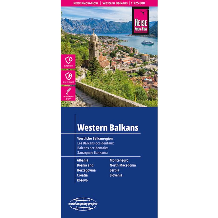
Western Balkans 1:725000 : Albania, Bosnia und Herzegovin
£12.00
In Stock
Usually dispatched within 24 hrs. Free delivery to UK for orders £25 and over
| Cordee Code: | RK0233 |
|---|---|
| Page Size: | 115 x 260 mm |
| No of Pages: | 2 |
| Publisher: | Reise Know-how |
| ISBN13: | 9783831774890 |
| Published Date: | October 2025 |
| Edition: | 8th ed, 2025 |
| Binding: | Sheet Map (folded) |
| Weight: | 100g |
| Product Type: | Map |
| Countries: | Albania |
Highly tear-resistant and 100% waterproof map 'Western Balkans Region' from the world mapping project series.
Reise Know-How maps are characterized by their particularly sturdy synthetic paper, which can be written on like paper, even with a pencil. The cardboard cover is removable, allowing the map to easily fit into any pocket. A protective cover is not required. The cartographic presentation focuses on the most important information for travelers and is particularly legible. Instead of shading, colored elevation layers are used.
This map includes the countries Albania, Bosnia and Herzegovina, Kosovo, Croatia, Macedonia, Montenegro, Serbia and Slovenia.
-Contour lines with height information
-Colored elevation layers
-Classified road network with distance information
-Sightseeing features
-Detailed place index
-GPS-accurate
-Longitude and latitude
-Five-language legend (German, English, French, Spanish, Russian)