We use cookies to make your experience better. To comply with the new e-Privacy directive, we need to ask for your consent to set the cookies. Learn more
West Highland Way
A Footprint Map/Guide
£10.95
In Stock
Usually dispatched within 24 hrs. Free delivery to UK for orders £25 and over
| Cordee Code: | CWN454 |
|---|---|
| Page Size: | 120 x 225 mm |
| No of Pages: | 1 |
| Publisher: | Stirling Surveys |
| ISBN13: | 9781871149937 |
| Author: | Footprint Guide & Map |
| Published Date: | June 2017 |
| Edition: | 2017 |
| Binding: | Sheet Map (folded) In Wallet |
| Weight: | 60g |
| Product Type: | Map |
| Countries: | Scotland |
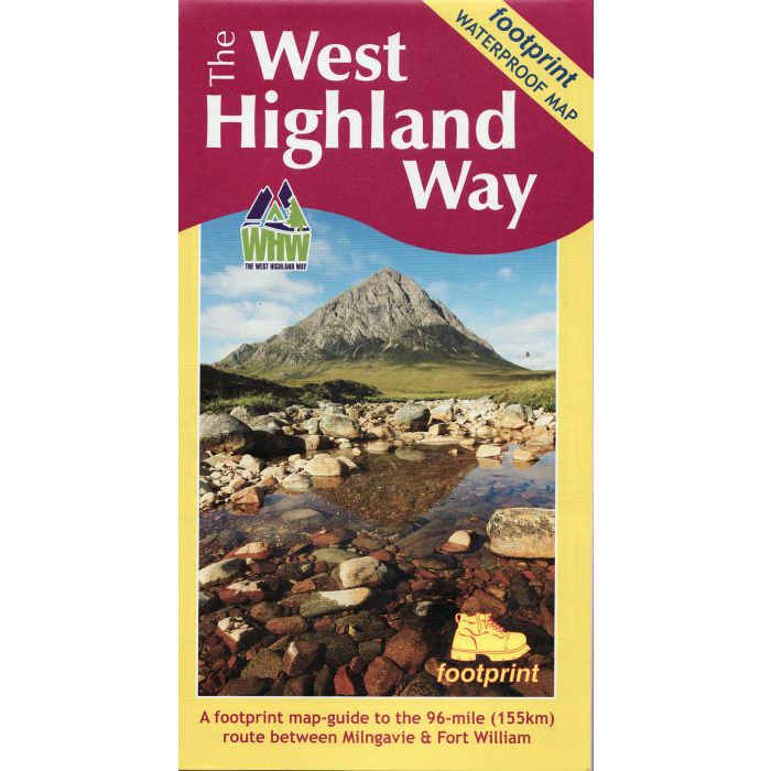
The West Highland Way waterproof map from Footprint is a map-guide to the 95 mile (153km) route between Milngavie and Fort William. The mapping is based on Ordnance Survey data at a scale of 1:40,000, with compact and concise information for walkers. Flat sheet measures 840mm x450mm.
-
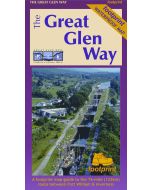 The Great Glen Way: Fort William - InvernessFootprint Waterproof Map-guide£10.95
CWN455
Temp Out Of StockOut of stock