We use cookies to make your experience better. To comply with the new e-Privacy directive, we need to ask for your consent to set the cookies. Learn more

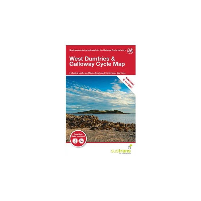
West Dumfries and Galloway Cycle Map 36
including part of Lochs & Glens South
£8.70
In Stock
Usually dispatched within 24 hrs. Free delivery to UK for orders £25 and over
| Cordee Code: | CCY457 |
|---|---|
| Page Size: | 100 x 160 mm |
| No of Pages: | 2 |
| Publisher: | Walk Wheel Cycle Trust |
| ISBN13: | 9781914410314 |
| Scale: | 1:110 000 |
| Published Date: | October 2021 |
| Binding: | Sheet Map (folded) |
| Illustrations: | Full colour mapping |
| Weight: | 50g |
| Product Type: | Map |
| Countries: | Scotland |
The West Dumfries and Galloway cycle map shows the National Cycle Network and local routes in this area. It covers Dumfries and Galloway region in Scotland including: Dumfries, Castle Douglas, Kirkcudbright and Newton Stewart.
The West Dumfries and Galloway cycle map includes part of the Lochs and Glens South route.
This pocket-sized colour map shows clearly mapped on-road and traffic-free paths, easy-to-read contours, and detailed inset maps for the major towns and cities as well as recommended linking routes connecting the NCN with quiet roads. The map also features 3 day rides with directions and a description of the area, highlighting key cycle routes and places of interest.